.svg/1280px-World_location_map_(equirectangular_180).svg.png)
20th meridian east (interactive map)
The meridian 20° east of Greenwich is a line of longitude[1] that extends from the North Pole across the Arctic Ocean, Europe, Africa, the Atlantic and Indian oceans, the Southern Ocean, and Antarctica to the South Pole.
The 20th meridian east forms a great ellipse with the 160th meridian west.
Part of Namibia's borders with Botswana and South Africa are defined by the meridian.[2] The boundary between the Atlantic Ocean and the Indian Ocean is defined by the meridian.[3] The meridian defines the eastern limit of the New Swabia area in Queen Maud Land, Antarctica.[citation needed]
From Pole to Pole
Starting at the North Pole and heading south to the South Pole, the 20th meridian east passes through:
Co-ordinates Country, territory or sea Notes 90°0′N 20°0′E / 90.000°N 20.000°E / 90.000; 20.000 (Arctic Ocean) Arctic Ocean 80°32′N 20°0′E / 80.533°N 20.000°E / 80.533; 20.000 (Norway)  Norway
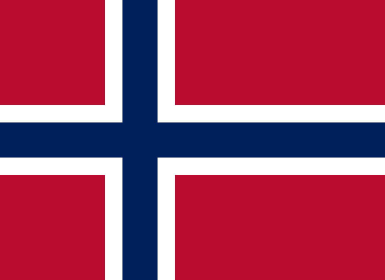
Islands of Nordaustlandet and Spitsbergen, Svalbard 78°37′N 20°0′E / 78.617°N 20.000°E / 78.617; 20.000 (Barents Sea) Barents Sea 73°54′N 20°0′E / 73.900°N 20.000°E / 73.900; 20.000 (Atlantic Ocean) Atlantic Ocean Norwegian Sea 70°10′N 20°0′E / 70.167°N 20.000°E / 70.167; 20.000 (Norway) Norway
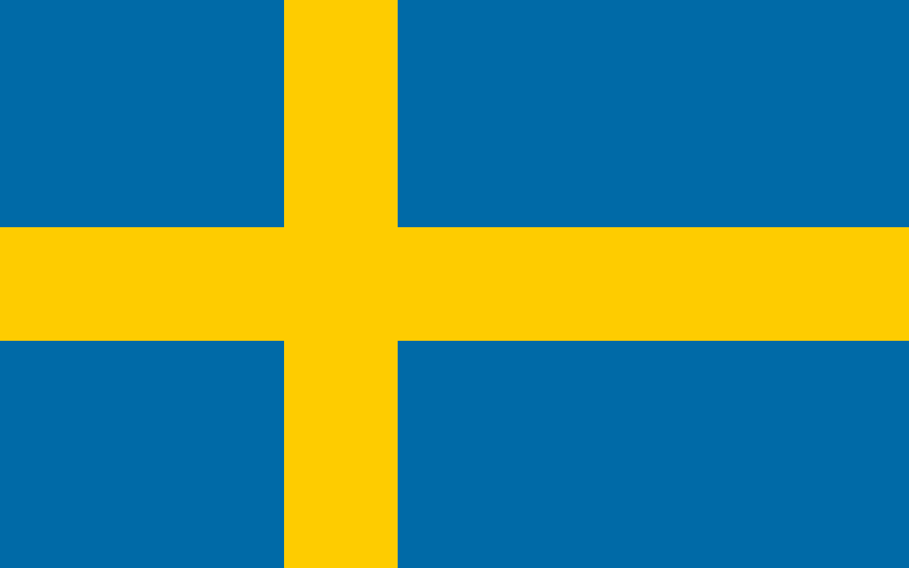
Island of Vanna, and the mainland 68°34′N 20°0′E / 68.567°N 20.000°E / 68.567; 20.000 (Sweden) Sweden
For about 2 km 68°33′N 20°0′E / 68.550°N 20.000°E / 68.550; 20.000 (Norway) Norway
For about 18 km 68°23′N 20°0′E / 68.383°N 20.000°E / 68.383; 20.000 (Sweden) Sweden
63°37′N 20°0′E / 63.617°N 20.000°E / 63.617; 20.000 (Baltic Sea) Baltic Sea Gulf of Bothnia 60°24′N 20°0′E / 60.400°N 20.000°E / 60.400; 20.000 (Finland) Finland ( Åland Islands)
Island of Fasta Åland 60°1′N 20°0′E / 60.017°N 20.000°E / 60.017; 20.000 (Baltic Sea) Baltic Sea 54°57′N 20°0′E / 54.950°N 20.000°E / 54.950; 20.000 (Russia) Russia
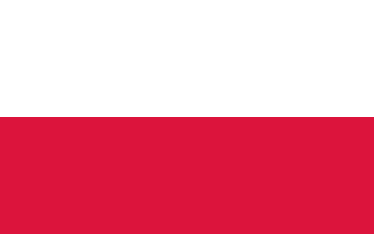
Kaliningrad Oblast (exclave) 54°25′N 20°0′E / 54.417°N 20.000°E / 54.417; 20.000 (Poland) Poland
Passing through Kraków (where crosses with 50th parallel north) 49°13′N 20°0′E / 49.217°N 20.000°E / 49.217; 20.000 (Slovakia) Slovakia
Passing through the mountain of Kriváň 48°10′N 20°0′E / 48.167°N 20.000°E / 48.167; 20.000 (Hungary) Hungary
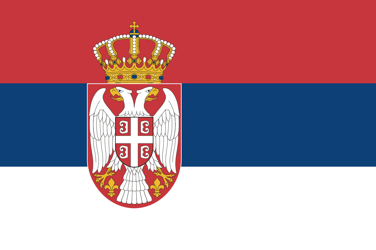
Passing just west of Szeged 46°10′N 20°0′E / 46.167°N 20.000°E / 46.167; 20.000 (Serbia) Serbia
43°4′N 20°0′E / 43.067°N 20.000°E / 43.067; 20.000 (Montenegro) Montenegro
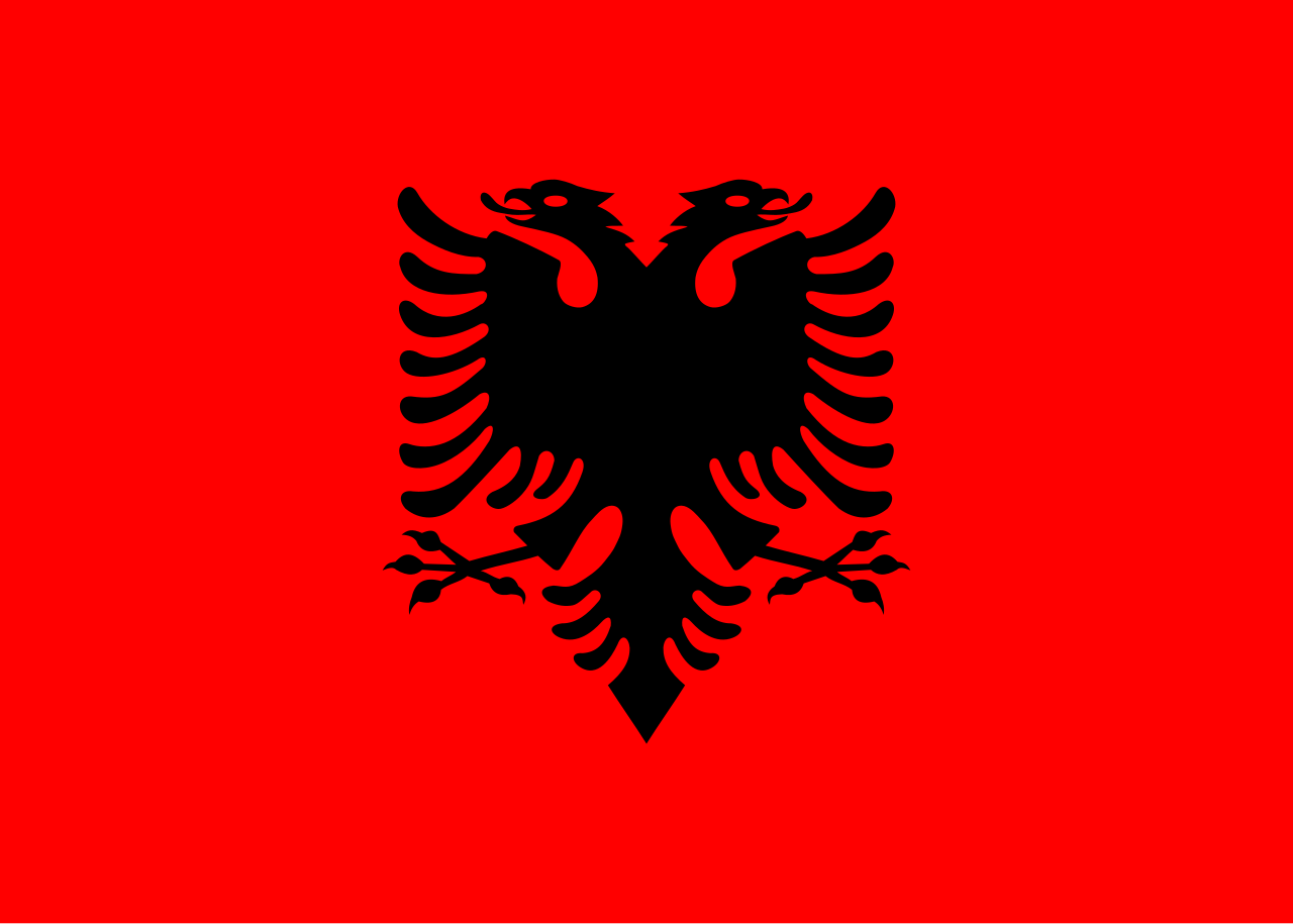
42°31′N 20°0′E / 42.517°N 20.000°E / 42.517; 20.000 (Albania) Albania
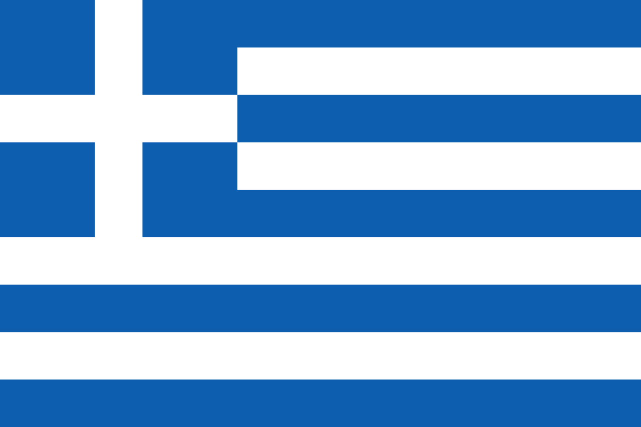
39°41′N 20°0′E / 39.683°N 20.000°E / 39.683; 20.000 (Mediterranean Sea) Mediterranean Sea Ionian Sea 39°27′N 20°0′E / 39.450°N 20.000°E / 39.450; 20.000 (Greece) Greece
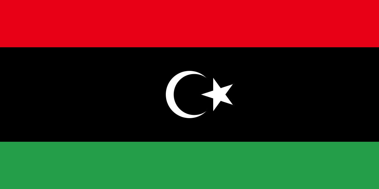
Island of Corfu 39°24′N 20°0′E / 39.400°N 20.000°E / 39.400; 20.000 (Mediterranean Sea) Mediterranean Sea Ionian Sea and the Mediterranean proper 32°1′N 20°0′E / 32.017°N 20.000°E / 32.017; 20.000 (Libya) Libya
31°28′N 20°0′E / 31.467°N 20.000°E / 31.467; 20.000 (Mediterranean Sea) Mediterranean Sea Gulf of Sidra 30°46′N 20°0′E / 30.767°N 20.000°E / 30.767; 20.000 (Libya) Libya
21°33′N 20°0′E / 21.550°N 20.000°E / 21.550; 20.000 (Chad) Chad
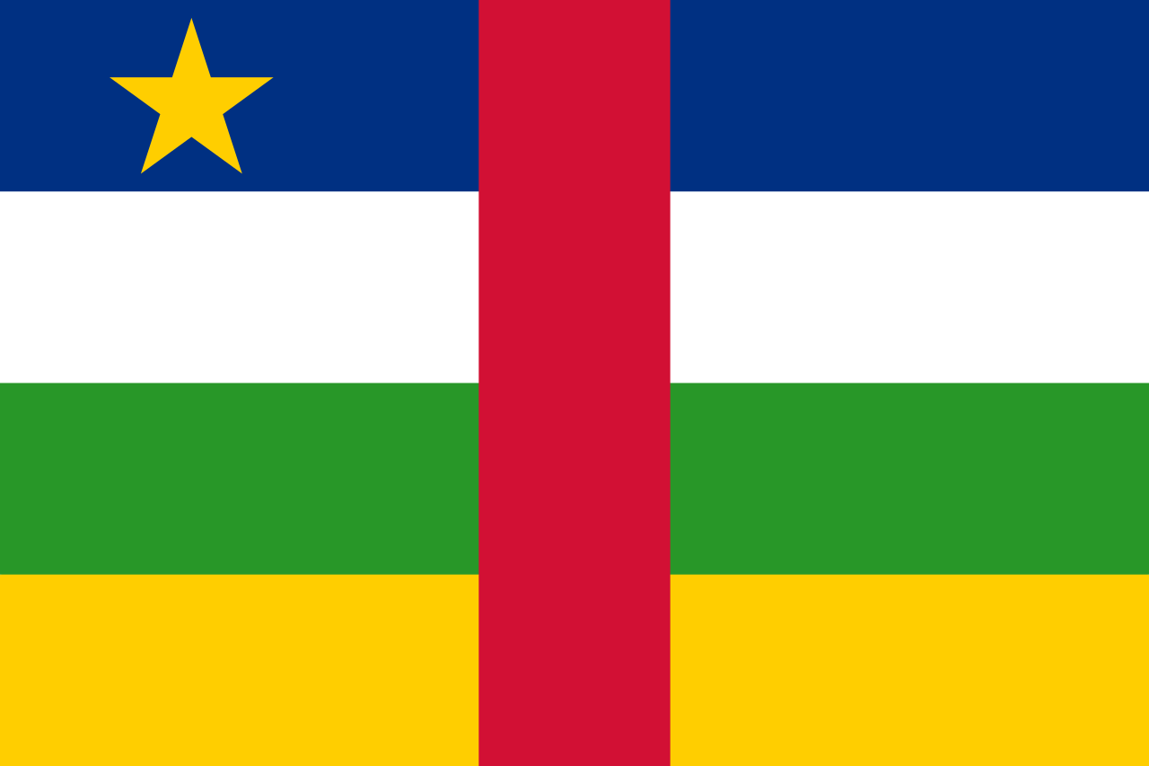
9°7′N 20°0′E / 9.117°N 20.000°E / 9.117; 20.000 (Central African Republic) Central African Republic
4°58′N 20°0′E / 4.967°N 20.000°E / 4.967; 20.000 (Democratic Republic of the Congo) Democratic Republic of the Congo
7°0′S 20°0′E / 7.000°S 20.000°E / -7.000; 20.000 (Angola) Angola
17°53′S 20°0′E / 17.883°S 20.000°E / -17.883; 20.000 (Namibia) Namibia
22°0′S 20°0′E / 22.000°S 20.000°E / -22.000; 20.000 (Namibia / Botswana border) Namibia / Botswana border
24°45′S 20°0′E / 24.750°S 20.000°E / -24.750; 20.000 (Namibia / South Africa border) Namibia / South Africa (Northern Cape) border
28°26′S 20°0′E / 28.433°S 20.000°E / -28.433; 20.000 (South Africa) South Africa
Northern Cape
Western Cape34°50′S 20°0′E / 34.833°S 20.000°E / -34.833; 20.000 (Atlantic Ocean / Indian Ocean boundary) Atlantic Ocean / Indian Ocean boundary 60°0′S 20°0′E / 60.000°S 20.000°E / -60.000; 20.000 (Southern Ocean) Southern Ocean 69°53′S 20°0′E / 69.883°S 20.000°E / -69.883; 20.000 (Antarctica) Antarctica Queen Maud Land, claimed by Norway


.svg)
.svg)
See also
References
- ^ "What is longitude?". oceanservice.noaa.gov. Retrieved 30 June 2025.
- ^ Shelley, Fred M. (23 April 2013). Nation Shapes: The Story Behind the World's Borders. ABC-CLIO. p. 333. ISBN 978-1-61069-106-2.
- ^ Guyot, Arnold Henri; Felton, Cornelius Conway (1852). Comparative Physical Geography; Or the Earth in Relation to Man ... Translated from the French by C. C. Felton, Etc. p. 49.