Arceau | |
|---|---|
 Chateau and grounds | |
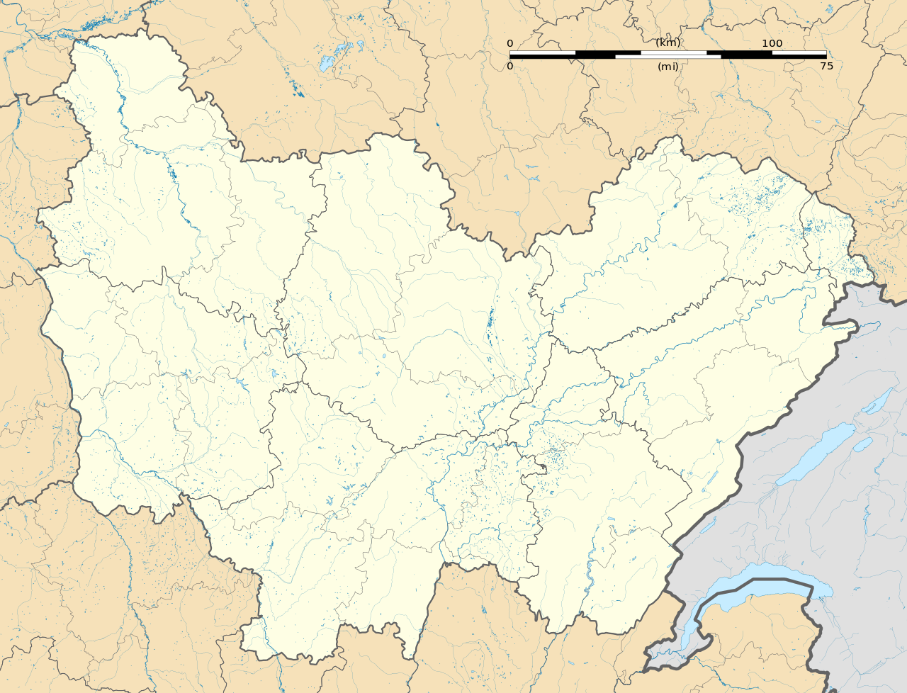
Location of Arceau | |
| Coordinates: 47°23′07″N 5°11′25″E / 47.3853°N 5.1903°E / 47.3853; 5.1903 | |
| Country | France |
| Region | Bourgogne-Franche-Comté |
| Department | Côte-d'Or |
| Arrondissement | Dijon |
| Canton | Saint-Apollinaire |
| Government | |
| • Mayor (2020–2026) | Bruno Bethenod[1] |
Area 1 | 21.6 km2 (8.3 sq mi) |
| Population (2023)[2] | 980 |
| • Density | 45/km2 (120/sq mi) |
| Time zone | UTC+01:00 (CET) |
| • Summer (DST) | UTC+02:00 (CEST) |
| INSEE/Postal code | 21016 /21310 |
| Elevation | 217–251 m (712–823 ft) (avg. 229 m or 751 ft) |
| 1 French Land Register data, which excludes lakes, ponds, glaciers > 1 km2 (0.386 sq mi or 247 acres) and river estuaries. | |
.svg/1280px-Blason_de_la_ville_d'Arceau_(21).svg.png)


.svg)
Arceau (French pronunciation: [aʁso]) is a commune in the Côte-d'Or department in Bourgogne-Franche-Comté in eastern France.
Population
| Year | Pop. | ±% |
|---|---|---|
| 1962 | 351 | — |
| 1968 | 356 | +1.4% |
| 1975 | 367 | +3.1% |
| 1982 | 456 | +24.3% |
| 1990 | 526 | +15.4% |
| 1999 | 569 | +8.2% |
| 2008 | 634 | +11.4% |
See also
References
- ^ "Répertoire national des élus: les maires". data.gouv.fr, Plateforme ouverte des données publiques françaises (in French). 2 December 2020.
- ^ "Populations de référence 2023" (in French). National Institute of Statistics and Economic Studies. 29 December 2025.
 | This Arrondissement of Dijon geographical article is a stub. You can help Wikipedia by adding missing information. |
