Chula, Missouri | |
|---|---|
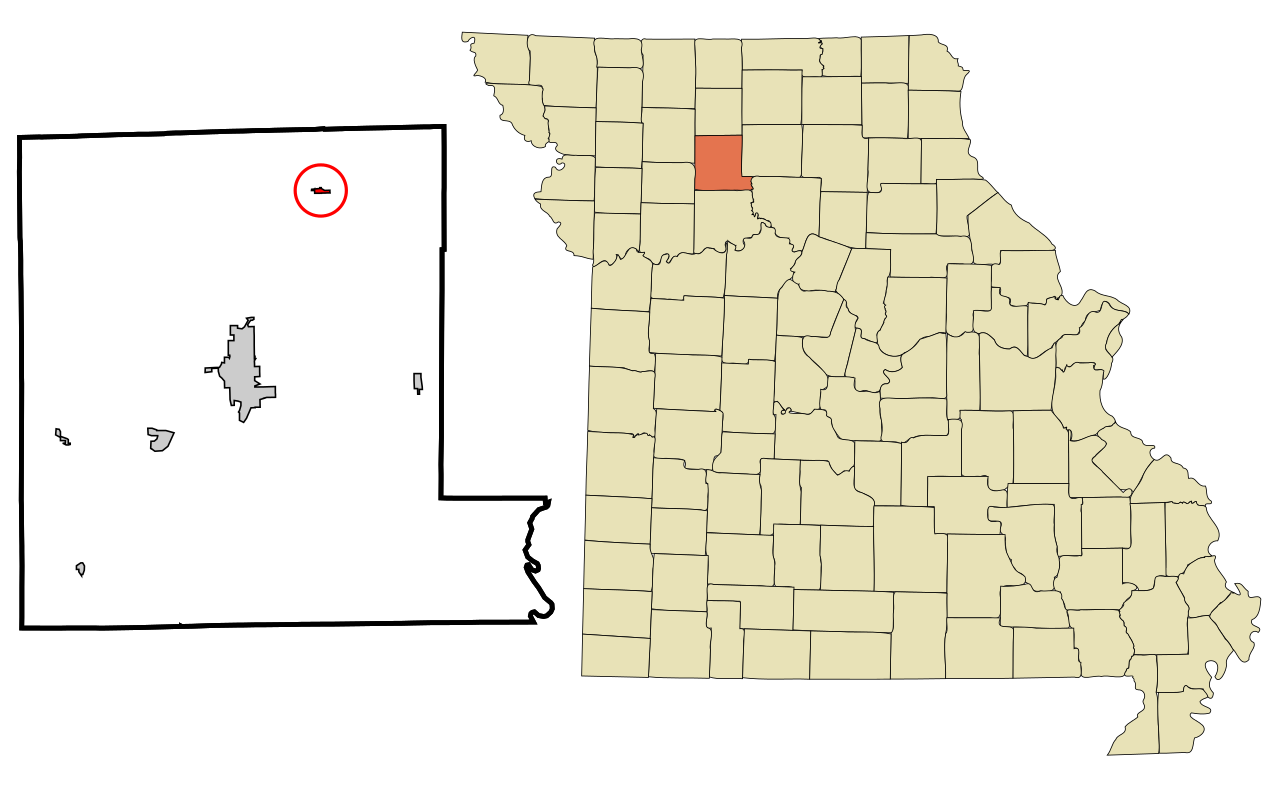 ミズーリ州チュラの位置 | |
| 座標:北緯39度55分19秒 西経93度28分39秒 / 北緯39.92194度 西経93.47750度 / 39.92194; -93.47750 [1] | |
| 国 | アメリカ合衆国 |
| 州 | ミズーリ州 |
| 郡 | リビングストン |
| 面積 [2] | |
• 合計 | 0.18平方マイル (0.46 km² ) |
| • 陸地 | 0.18 sq mi (0.46 km2) |
| • 水域 | 0平方マイル (0.00 km 2 ) |
| 標高 [1] | 232メートル |
| 人口 (2020年) | |
• Total | 195 |
| • 人口密度 | 1,096.2平方マイル(423.24平方キロメートル) |
| タイムゾーン | UTC-6(中央標準時(CST)) |
| • 夏時間(DST) | UTC-5(CDT) |
| 郵便番号 | 64635 |
| 市外局番 | 660<extra_id_1> FIPSコード |
| 29-13852 [3] | GNIS地物ID |
| 2393522 [1] | 2393522[1] |
Chula is a city in Livingston County, Missouri, United States. The population was 195 at the 2020 census.[4]
History
A post office called Chula has been in operation since 1888.[5] Chula is a Choctaw Indian name meaning "red fox".[6] It is unclear why the name Chula was applied to this community.[7]
Geography
Chula is located on Cream Ridge adjacent to the west side of the Medicine Creek floodplain to the northeast of Chillicothe. Missouri routes K and V serve the community and the old Chicago, Milwaukee, St. Paul and Pacific Railroad line passes through the town.[8]
According to the United States Census Bureau, the city has a total area of 0.18 square miles (0.47 km2), all land.[9]
Demographics
| Census | Pop. | Note | %± |
|---|---|---|---|
| 1900 | 282 | — | |
| 1910 | 384 | 36.2% | |
| 1920 | 444 | 15.6% | |
| 1930 | 388 | −12.6% | |
| 1940 | 439 | 13.1% | |
| 1950 | 314 | −28.5% | |
| 1960 | 285 | −9.2% | |
| 1970 | 244 | −14.4% | |
| 1980 | 244 | 0.0% | |
| 1990 | 183 | −25.0% | |
| 2000 | 198 | 8.2% | |
| 2010 | 210 | 6.1% | |
| 2020 | 195 | −7.1% | |
| U.S. Decennial Census[10] | |||
2010 census
As of the census[11] of 2010, there were 210 people, 77 households, and 55 families residing in the city. The population density was 1,166.7 inhabitants per square mile (450.5/km2). There were 91 housing units at an average density of 505.6 per square mile (195.2/km2). The racial makeup of the city was 93.3% White, 0.5% African American, 1.0% Native American, 1.0% Asian, 1.9% from other races, and 2.4% from two or more races. Hispanic or Latino of any race were 5.2% of the population.
世帯数は77世帯で、そのうち18歳未満の子供が同居している世帯は41.6%、夫婦同居世帯は55.8 %、女性世帯主で夫がいない世帯は13.0%、男性世帯主で妻がいない世帯は2.6%、非家族世帯は28.6%であった。全世帯の24.7%は単身世帯であり、9.1%は65歳以上の単身世帯であった。平均世帯人員は2.73人、平均家族人員は3.11人であった。
市の平均年齢は34.8歳でした。住民の27.6%が18歳未満、18歳から24歳が11.4%、25歳から44歳が26.7%、45歳から64歳が23.8%、65歳以上が10.5%でした。市の男女比は、男性が49.0%、女性が51.0%でした。
2000年国勢調査
2000年国勢調査時点で、[3]チュラには198人、71世帯、50家族が居住していました。人口密度は1平方マイルあたり1,192.1人(460.3人/km²)でした。80戸の住宅の平均密度は1平方マイルあたり481.7人(181.7人/km²)でした。市の人種構成は、白人が98.99%、ネイティブアメリカンが0.51% 、2つ以上の人種が0.51%でした
71世帯のうち、18歳未満の子供がいる世帯は45.1%、夫婦世帯は50.7% 、単身女性世帯は18.3%、非家族世帯は28.2%でした。全世帯の26.8%は単身世帯で、65歳以上の一人暮らし世帯は14.1%でした。平均世帯人員は2.79人、平均家族人員は3.31人でした。
チュラ郡では、人口の37.9%が18歳未満、5.1%が18歳から24歳、27.3%が25歳から44歳、18.2%が45歳から64歳、11.6%が65歳以上でした。年齢の中央値は32歳でした。女性100人に対して男性は76.8人、18歳以上の女性100人に対して男性は92.2人でした。
世帯収入の中央値は30,208ドル、家族収入の中央値は30,625ドルでした。男性の中央値は26,250ドル、女性は10,000ドルでした。市の一人当たり所得は11,920ドルでした。世帯の約24.5%と人口の21.5%が貧困ライン以下で、これには18歳未満の21.4%と65歳以上の43.5%が含まれます。
参考文献
- ^ abc 米国地質調査所 地名情報システム:ミズーリ州チュラ
- ^ 「ArcGIS REST Services Directory」。米国国勢調査局。2022年8月28日閲覧。
- ^ ab 「米国国勢調査ウェブサイト」。米国国勢調査局。 2008年1月31日閲覧。
- ^ 「国勢調査データを見る」. data.census.gov . 2022年1月20日閲覧。
- ^ 「郵便局」ジム・フォルテ著『郵便史』2016年10月30日閲覧。
- ^ イートン、デイビッド・ウルフ(1916年)『ミズーリ州の郡、町、河川の命名の経緯』ミズーリ州歴史協会、189頁。
- ^ 「リビングストン郡地名集 1928–1945」ミズーリ州歴史協会。2016年6月24日時点のオリジナルよりアーカイブ。 2016年10月30日閲覧。
- ^ ミズーリ州チュラ、 7.5分地形図、USGS、1983年
- ^ 「US Gazetteer files 2010」.米国国勢調査局. 2012年1月25日時点のオリジナルよりアーカイブ。 2012年7月8日閲覧。
- ^ 「人口・住宅国勢調査」Census.gov . 2015年6月4日閲覧。
- ^ 「米国国勢調査ウェブサイト」.米国国勢調査局. 2012年7月8日閲覧。
