You can help expand this article with text translated from the corresponding article in French. (December 2008) Click [show] for important translation instructions.
|
Corbény | |
|---|---|
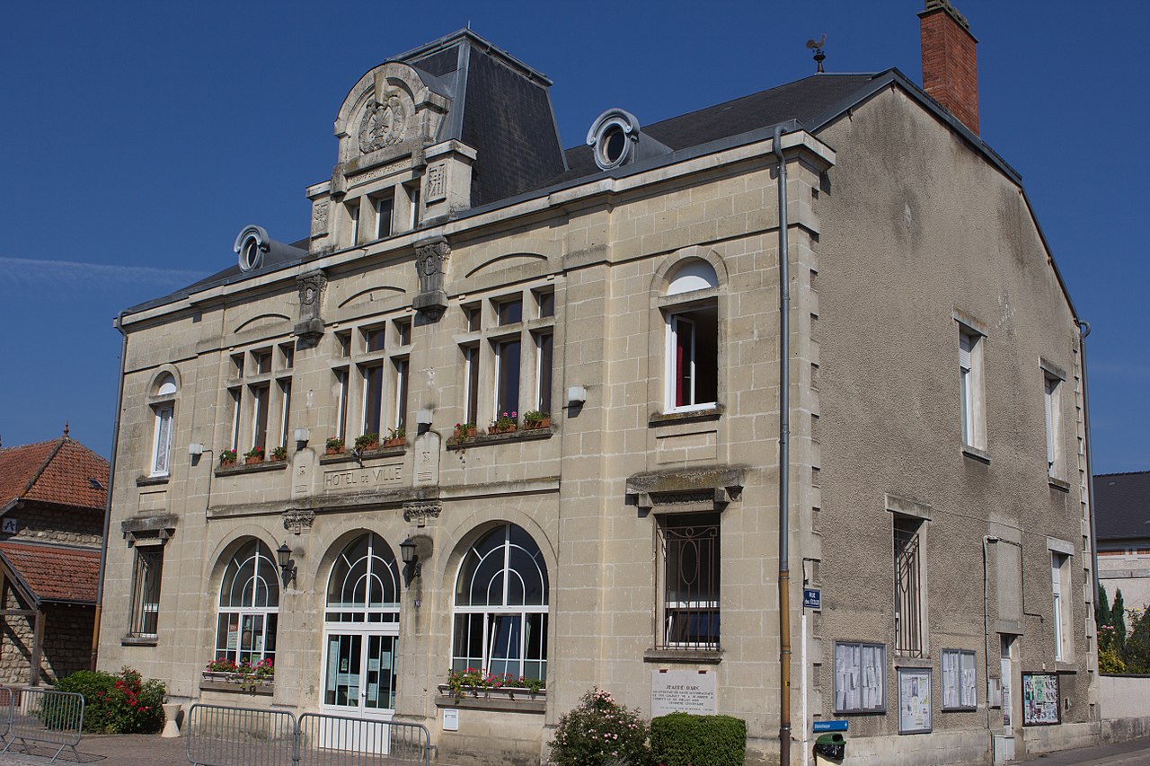 The town hall of Corbeny | |
Location of Corbény | |
| Coordinates: 49°27′46″N 3°49′28″E / 49.4628°N 3.8244°E / 49.4628; 3.8244 | |
| Country | France |
| Region | Hauts-de-France |
| Department | Aisne |
| Arrondissement | Laon |
| Canton | Villeneuve-sur-Aisne |
| Intercommunality | Chemin des Dames |
| Government | |
| • Mayor (2020–2026) | Dany Vandois[1] |
Area 1 | 15.23 km2 (5.88 sq mi) |
| Population (2023)[2] | 851 |
| • Density | 55.9/km2 (145/sq mi) |
| Time zone | UTC+01:00 (CET) |
| • Summer (DST) | UTC+02:00 (CEST) |
| INSEE/Postal code | 02215 /02820 |
| Elevation | 64–134 m (210–440 ft) (avg. 80 m or 260 ft) |
| Website | www.corbeny.fr |
| 1 French Land Register data, which excludes lakes, ponds, glaciers > 1 km2 (0.386 sq mi or 247 acres) and river estuaries. | |
.svg/1280px-Blason_ville_fr_Corbeny_(Aisne).svg.png)


.svg)
Corbeny (French pronunciation: [kɔʁbəni]; in the Middle Ages: Corbunei) is a commune in the Aisne department in Hauts-de-France in northern France.
Geography
The river Ailette flows south through the northwestern part of the commune.
Population
| Year | Pop. | ±% p.a. |
|---|---|---|
| 1968 | 517 | — |
| 1975 | 495 | −0.62% |
| 1982 | 578 | +2.24% |
| 1990 | 591 | +0.28% |
| 1999 | 633 | +0.77% |
| 2007 | 701 | +1.28% |
| 2012 | 748 | +1.31% |
| 2017 | 801 | +1.38% |
| 2023 | 851 | +1.01% |
| Source: INSEE[3] | ||
See also
References
- ^ "Répertoire national des élus: les maires" (in French). data.gouv.fr, Plateforme ouverte des données publiques françaises. 13 September 2022.
- ^ "Populations de référence 2023" (in French). National Institute of Statistics and Economic Studies. 29 December 2025.
- ^ Population municipale entre 1968 et 2023, INSEE
 | This Laon arrondissement geographical article is a stub. You can help Wikipedia by adding missing information. |
