El Jebel, Colorado | |
|---|---|
 El Jebel sign. | |
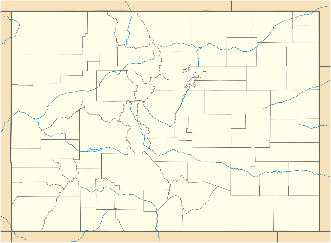
 Location of the El Jebel CDP in Eagle County, Colorado. | |
| Coordinates: 39°23′42″N 107°05′25″W / 39.3950°N 107.0903°W / 39.3950; -107.0903 (El Jebel, Colorado)[2] | |
| Country | United States |
| State | Colorado |
| County | Eagle[1] |
| Government | |
| • Type | unincorporated community |
| • Body | Eagle County[1] |
| Area [3] | |
• Total | 5.359 sq mi (13.880 km2) |
| • Land | 5.305 sq mi (13.739 km2) |
| • Water | 0.054 sq mi (0.141 km2) |
| Elevation [2] | 6,483 ft (1,976 m) |
| Population (2020)[4] | |
• Total | 4,130 |
| • Density | 779/sq mi (301/km2) |
| Time zone | UTC−07:00 (MST) |
| • Summer (DST) | UTC−06:00 (MDT) |
| ZIP code[5] | (Carbondale) 81623 |
| Area codes | 970/748 |
| GNIS place ID | 174858 |
| GNIS CDP ID | 2408058 |
| FIPS code | 08-23795 |


El Jebel is an unincorporated community and a census-designated place (CDP) located in and governed by Eagle County, Colorado, United States. The CDP is a part of the Edwards, CO Micropolitan Statistical Area and the Edwards-Rifle, CO Combined Statistical Area. The population of the El Jebel CDP was 4,130 at the United States Census 2020.[4]
History
The El Jebel, Colorado, post office operated from May 1, 1973, until October 4, 1976.[6] The Carbondale, Colorado, post office (ZIP Code 81623) serves El Jebel postal addresses.[5] El Jebel grew rapidly in the last two decades of the 20th century with the population increase in the valley downstream from Aspen. It consists largely of a group of commercial establishments just off State Highway 82, approximately 3 miles (5 km) northwest of Basalt, as well as several housing subdivisions nearby.
Etymology
"Al Jebel" means "the mountain" in Arabic.
Geography
El Jebel is located in the Roaring Fork Valley, between Carbondale and Basalt, along the north side of State Highway 82.
The El Jebel CDP has an area of 3,430 acres (13.880 km2), including 35 acres (0.141 km2) of water.[3]
Climate
This climate type is dominated by the winter season, a long, bitterly cold period with short, clear days, relatively little precipitation mostly in the form of snow, and low humidity. According to the Köppen Climate Classification system, El Jebel has a subarctic climate, abbreviated "Dfc" on climate maps.[7]
| Climate data for El Jebel, Colorado | |||||||||||||
|---|---|---|---|---|---|---|---|---|---|---|---|---|---|
| Month | Jan | Feb | Mar | Apr | May | Jun | Jul | Aug | Sep | Oct | Nov | Dec | Year |
| Mean daily maximum °C (°F) | 1 (33) |
4 (39) |
9 (48) |
14 (58) |
21 (69) |
26 (78) |
30 (86) |
28 (83) |
24 (75) |
17 (63) |
8 (47) |
1 (34) |
16 (60) |
| Mean daily minimum °C (°F) | −9 (15) |
−7 (20) |
−3 (27) |
2 (35) |
6 (43) |
10 (50) |
14 (58) |
13 (56) |
9 (48) |
3 (38) |
−3 (27) |
−8 (18) |
2 (36) |
| Average precipitation mm (inches) | 43 (1.7) |
38 (1.5) |
43 (1.7) |
53 (2.1) |
43 (1.7) |
30 (1.2) |
30 (1.2) |
43 (1.7) |
43 (1.7) |
46 (1.8) |
41 (1.6) |
41 (1.6) |
500 (19.5) |
| Source: Weatherbase [8] | |||||||||||||
Demographics
The United States Census Bureau initially defined the El Jebel CDP for the 1990 United States census.
| Year | Pop. | ±% |
|---|---|---|
| 1990 | 2,605 | — |
| 2000 | 4,488 | +72.3% |
| 2010 | 3,801 | −15.3% |
| 2020 | 4,130 | +8.7% |
| Source: United States Census Bureau | ||
See also


- Edwards, CO Micropolitan Statistical Area
- Edwards-Rifle, CO Combined Statistical Area
- List of census-designated places in Colorado
- List of populated places in Colorado
- List of post offices in Colorado
References
- ^ a b "Colorado Counties". Colorado Department of Local Affairs. Retrieved December 1, 2025.
- ^ a b "El Jebel, Colorado". Geographic Names Information System. United States Geological Survey, United States Department of the Interior. Retrieved December 1, 2025.
- ^ a b "State of Colorado Census Designated Places - BAS20 - Data as of January 1, 2020". United States Census Bureau. Retrieved December 21, 2020.
- ^ a b United States Census Bureau. "El Jebel CDP, Colorado". Retrieved April 17, 2023.
- ^ a b "ZIP Code Lookup". United States Postal Service. Retrieved December 1, 2025.
- ^ Bauer, William H.; Ozment, James L.; Willard, John H. (1990). Colorado Post Offices 1859–1989. Golden, Colorado: Colorado Railroad Historical Foundation. ISBN 0-918654-42-4.
- ^ Climate Summary for El Jebel, Colorado
- ^ "Weatherbase.com". Weatherbase. 2013. Retrieved on October 2, 2013.
External links
- State of Colorado
- History Colorado
- El Jebel @ ElJebel.co
- El Jebel @ Colorado.com
- El Jebel @ UncoverColorado.com
- Eagle County website
