Goiliang | |
|---|---|
Village | |
| Coordinates: 28°08′42″N 96°38′20″E / 28.1448867°N 96.6389179°E / 28.1448867; 96.6389179 | |
| Country |  India India |
| State | Arunachal Pradesh |
| District | Anjaw district |
| Elevation | 1,000 m (3,300 ft) |
| Languages | |
| • Official | English |
| Time zone | UTC+05:30 (IST) |
| Vehicle registration | AR |


Goiliang is a village and the headquarters of an eponymous circle in the Anjaw district in the north-eastern state of Arunachal Pradesh, India.
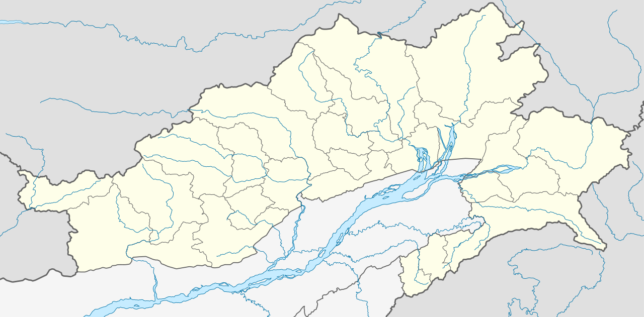
Goiliang is situated on the bank of the Dau River (or Dav River), a tributary of the Lohit River.[1] The nearest town is Hayuliang which is also the headquarters of the subdivision.
The Goiliang Circle had a population of 1,681 people in the 2011 census.[2]
References
- ^ Map of Anjaw, Anjaw District website, retrieved 5 July 2021.
- ^ Anjaw District Census Handbook, Part A, Census of India, 2012, p. 20.
