Gresha
گریشا | |
|---|---|
 Shashan Mountains in background. | |
| Coordinates: 27°36′1″N 65°56′1″E / 27.60028°N 65.93361°E / 27.60028; 65.93361 | |
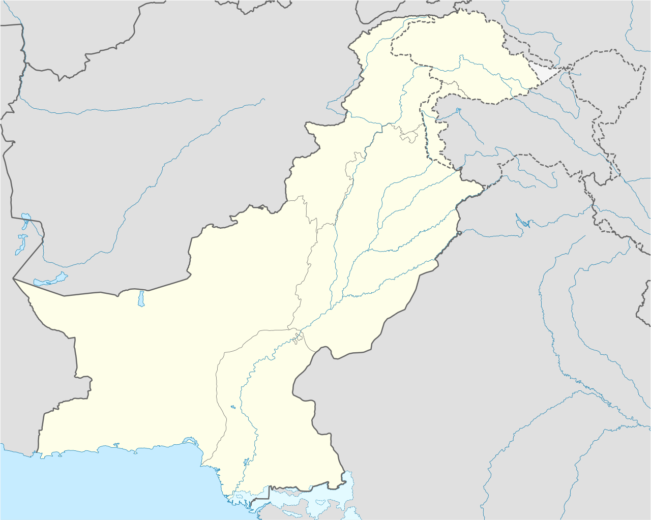
| Country |  Pakistan Pakistan |
| Province | Balochistan |
| District | Khuzdar District |
| Tehsil | Gresha |
| Area | |
• Tehsil of Khuzdar District | 2,622 km2 (1,012 sq mi) |
| Population (2023)[1] | |
• Tehsil of Khuzdar District | 69,665 |
| • Density | 26.57/km2 (68.8/sq mi) |
| • Urban | - |
| • Rural | 69,665 |
| Literacy | |
| • Literacy rate | 21.10%[2] |
| Time zone | UTC+5 (PST) |
| Main language | 45,839 Balochi, 23,362 Brahui[3] |


Gresha, locally pronounced as Greshag or Greshak (Brahui: گریشا; Balochi: گریشا, pronounced [ɡɾeːˈʃə]) is an administrative subdivision (Tehsil) of Khuzdar District in Balochistan, Pakistan.[1] It is one of ten administrative units, comprising tehsils and sub-tehsils, in the district, alongside Aranji, Karakh, Khuzdar, Moola, Nal, Ornach, Saroona, Wadh, and Zehri. The tehsil spans an area of 2,622 square kilometres and is located south-west of Nal.[1]
Population
| Year | Pop. | ±% p.a. |
|---|---|---|
| 1951 | ... | — |
| 1961 | ... | — |
| 1972 | ... | — |
| 1981 | ... | — |
| 1998 | ... | — |
| 2017 | 45,648 | — |
| 2023 | 69,665 | +7.30% |
| Source: [1] | ||
According to the 2023 national census, Gresha has a population of 69,665, all residing in rural areas, making it one of the more sparsely populated regions of the district. The tehsil consists of 9,920 households.[4]
Education
The tehsil faces significant development challenges, particularly due to limited access to education and the absence of a functioning healthcare system.[5] The literacy rate in the tehsil stands at 21.10%, reflecting limited access to formal education. This includes a male literacy rate of 27.06% and a significantly lower female literacy rate of just 16.38%, underscoring a notable gender gap in educational attainment.[2]
References
- ^ a b c d "Table 1: Area, Population by Sex, Sex Ratio, Population Density, Urban Population, Household Size and Annual Growth Rate, Balochistan" (PDF). pbs.gov.pk. Pakistan Bureau of Statistics, Census. 2023. Retrieved 18 May 2025.
- ^ a b "Table 12 - Literacy Rate, Enrolment and Out of School Population by Sex and Rural/Urban, Census 2023" (PDF). pbs.gov.pk. Pakistan Bureau of Statistics. Retrieved 2 June 2025.
- ^ "Table 11: Population by Mother Tongue, Gender, and Rural/Urban Residence (Census 2023)" (PDF). pbs.gov.pk. Pakistan Bureau of Statistics. Retrieved 23 May 2025.
- ^ "Table 24: Housing Characteristics, Facilities of Toilet and Washroom Used by Households, Rural/Urban: Census 2023" (PDF). pbs.gov.pk. Pakistan Bureau of Statistics. 2023. Retrieved 2 June 2025.
- ^ Basheer, Fida (19 May 2021). "Gresha: The Ignored Sub-Tehsil". thebalochnews.com. The Baloch News. Retrieved 19 May 2025.
| This Balochistan location article is a stub. You can help Wikipedia by adding missing information. |
