Lejunior, Kentucky | |
|---|---|
| Coordinates: 36°54′04″N 83°08′03″W / 36.90111°N 83.13417°W / 36.90111; -83.13417 | |
| Country | United States |
| State | Kentucky |
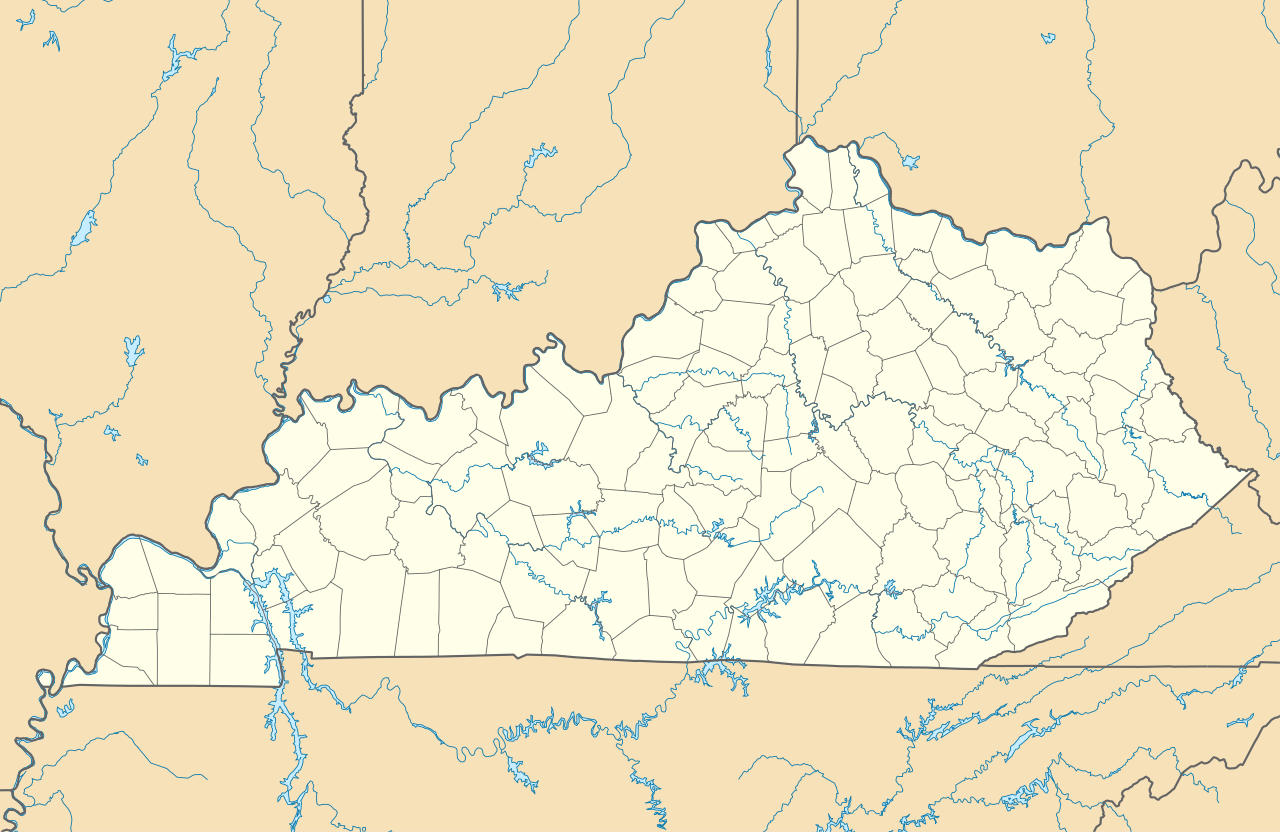
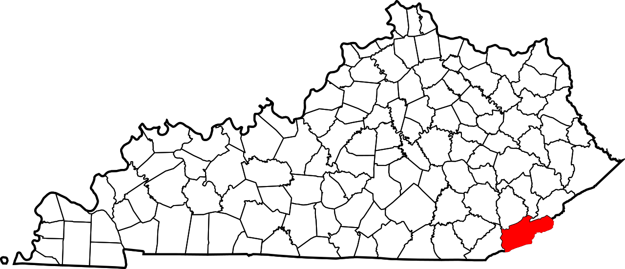
| County | Harlan |
| Elevation | 1,394 ft (425 m) |
| Time zone | UTC-5 (Eastern (EST)) |
| • Summer (DST) | UTC-4 (EDT) |
| ZIP code | 40849 |
| Area code | 606 |
| GNIS feature ID | 512274[1] |


Lejunior (also known as Gano[2]) is an unincorporated community in Harlan County, Kentucky, United States.[1] The community is located along Kentucky Route 38 and the Cumberland River 4.3 miles (6.9 km) northeast of Evarts. Lejunior has a post office with ZIP code 40849.[3][4]
References
- ^ a b "Gano". Geographic Names Information System. United States Geological Survey, United States Department of the Interior.
- ^ Nolansburg Quadrangle, Kentucky: 7.5 Minute Series (Topographic) (Map). U.S. Geological Survey. 1978.
- ^ United States Postal Service. "USPS - Look Up a ZIP Code". Retrieved April 9, 2017.
- ^ "Postmaster Finder - Post Offices by ZIP Code". United States Postal Service. Archived from the original on October 17, 2020. Retrieved April 9, 2017.
 | This Harlan County, Kentucky state location article is a stub. You can help Wikipedia by adding missing information. |
