Les Fins | |
|---|---|
 A general view of Les Fins | |
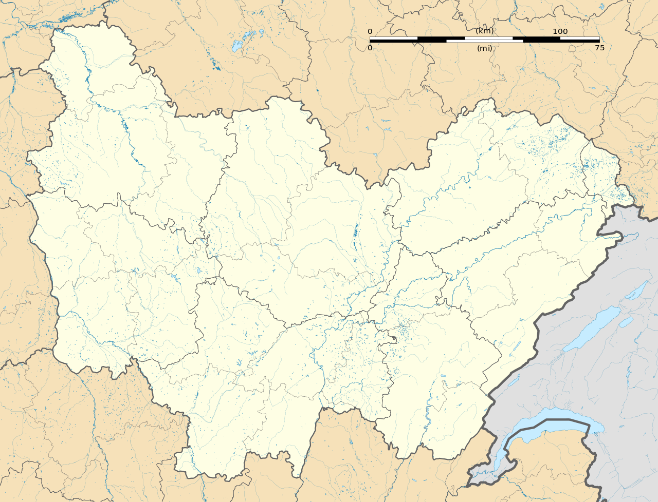
Location of Les Fins | |
| Coordinates: 47°04′54″N 6°37′45″E / 47.0817°N 6.6292°E / 47.0817; 6.6292 | |
| Country | France |
| Region | Bourgogne-Franche-Comté |
| Department | Doubs |
| Arrondissement | Pontarlier |
| Canton | Morteau |
| Intercommunality | Val de Morteau |
| Government | |
| • Mayor (2020–2026) | Elisabeth Redoutey[1] |
Area 1 | 25.39 km2 (9.80 sq mi) |
| Population (2023)[2] | 3,048 |
| • Density | 120.0/km2 (310.9/sq mi) |
| Time zone | UTC+01:00 (CET) |
| • Summer (DST) | UTC+02:00 (CEST) |
| INSEE/Postal code | 25240 /25500 |
| Elevation | 750–1,154 m (2,461–3,786 ft) |
| 1 French Land Register data, which excludes lakes, ponds, glaciers > 1 km2 (0.386 sq mi or 247 acres) and river estuaries. | |


Les Fins (French pronunciation: [le fɛ̃]) is a commune in the Doubs department in the Bourgogne-Franche-Comté region in eastern France.
Population
Historical population | ||||||||||||||||||||||||||||||||||||||||||||||||||||||||||||||||||||||
|
| |||||||||||||||||||||||||||||||||||||||||||||||||||||||||||||||||||||
| Source: EHESS[3] and INSEE (1968-2017)[4] | ||||||||||||||||||||||||||||||||||||||||||||||||||||||||||||||||||||||
See also
References
- ^ "Répertoire national des élus: les maires" (in French). data.gouv.fr, Plateforme ouverte des données publiques françaises. 13 September 2022.
- ^ "Populations de référence 2023" (in French). National Institute of Statistics and Economic Studies. 29 December 2025.
- ^ Des villages de Cassini aux communes d'aujourd'hui: Commune data sheet Les Fins, EHESS (in French).
- ^ Population en historique depuis 1968, INSEE
 | This Arrondissement of Pontarlier geographical article is a stub. You can help Wikipedia by adding missing information. |
