Melvin, Kentucky | |
|---|---|
| Coordinates: 37°21′1″N 82°41′39″W / 37.35028°N 82.69417°W / 37.35028; -82.69417 | |
| Country | United States |
| State | Kentucky |
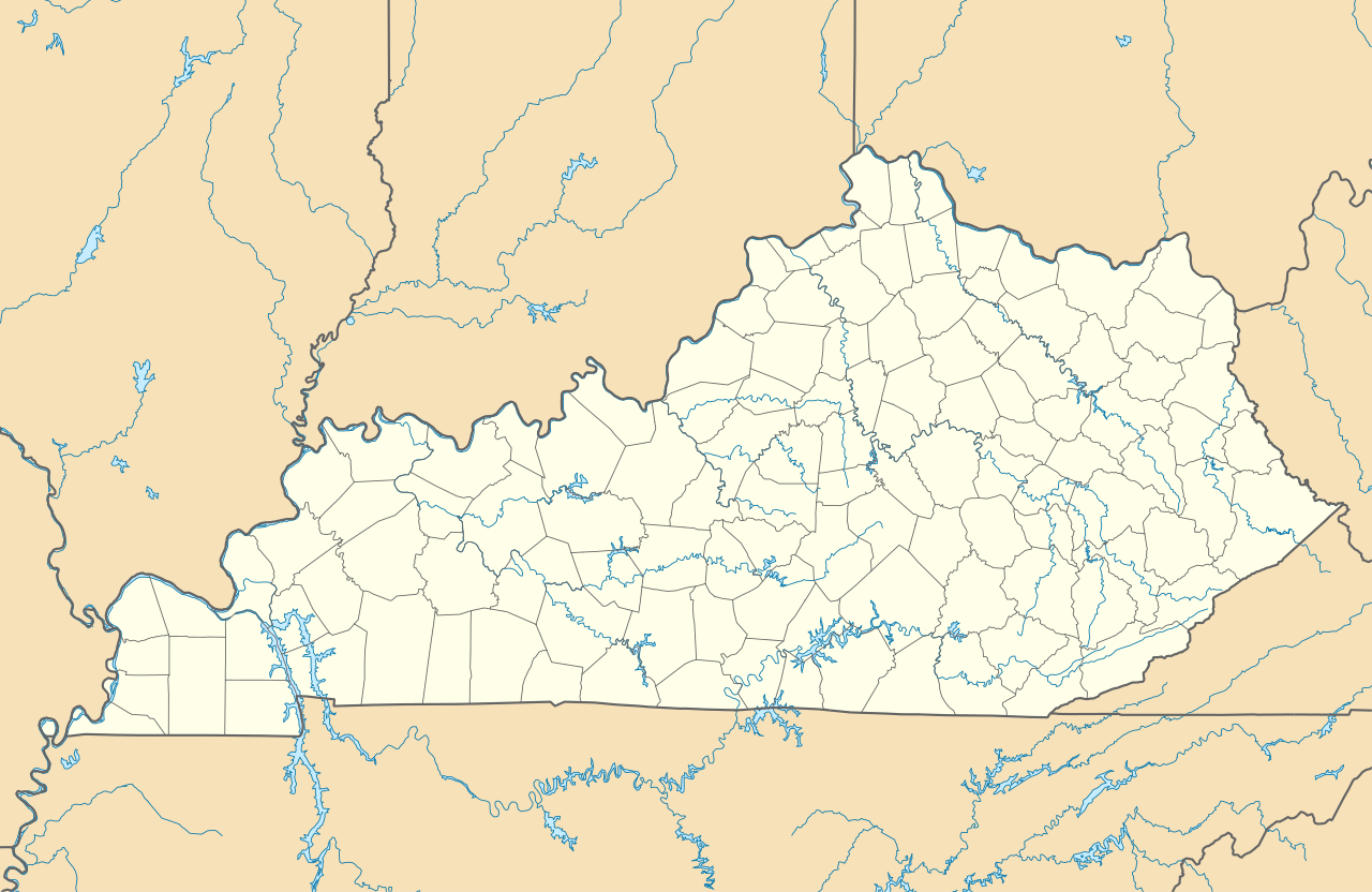
| County | Floyd |
| Elevation | 1,083 ft (330 m) |
| Time zone | UTC-5 (Eastern (EST)) |
| • Summer (DST) | UTC-4 (EDT) |
| ZIP codes | 41650 |
| GNIS feature ID | 498053[1] |


Melvin is an unincorporated community and coal town in Floyd County, Kentucky, United States.
Geography
Melvin is located on Kentucky Route 122 at the northern terminus of Kentucky Route 466.
References
- ^ U.S. Geological Survey Geographic Names Information System: Melvin, Kentucky
 | This Floyd County, Kentucky state location article is a stub. You can help Wikipedia by adding missing information. |
