Westview, Kentucky | |
|---|---|
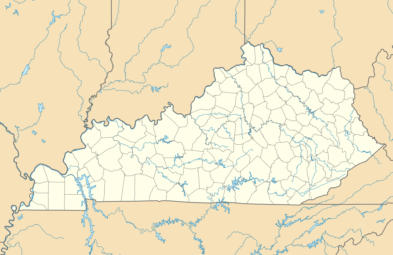
| Coordinates: 37°42′00″N 86°24′33″W / 37.70000°N 86.40917°W / 37.70000; -86.40917 | |
| Country | United States |
| State | Kentucky |
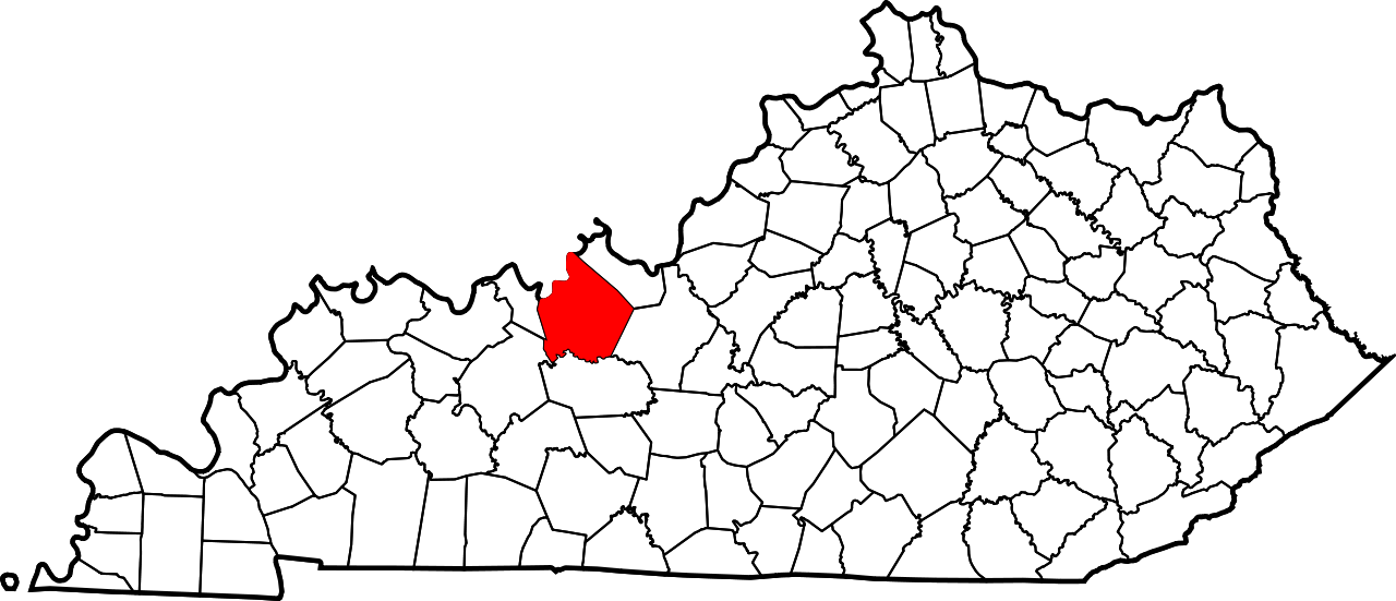
| County | Breckinridge |
| Elevation | 741 ft (226 m) |
| Time zone | UTC-6 (Central (CST)) |
| • Summer (DST) | UTC-5 (CDT) |
| ZIP code | 40178[1] |
| Area code | 270 |
| GNIS feature ID | 506504[2] |


Westview is an unincorporated community in Breckinridge County, Kentucky, United States. Westview is located along Kentucky Route 79, 6.2 miles (10.0 km) south-southeast of Hardinsburg.[3] Westview had a post office until it closed on August 2, 2008.[4]
References
- ^ United States Postal Service (2012). "USPS - Look Up a ZIP Code". Retrieved February 15, 2012.
- ^ "Westview". Geographic Names Information System. United States Geological Survey, United States Department of the Interior.
- ^ State Primary Road System: Breckinridge County (PDF) (Map). Kentucky Transportation Cabinet. 2012. Retrieved January 6, 2013.
- ^ "Postmaster Finder - Post Offices by ZIP Code". United States Postal Service. Archived from the original on October 17, 2020. Retrieved January 6, 2013.
 | This Breckinridge County, Kentucky state location article is a stub. You can help Wikipedia by adding missing information. |
