Pishin
پشین | |
|---|---|
City | |
| Coordinates: 30°35′05″N 66°59′41″E / 30.584809°N 66.994775°E / 30.584809; 66.994775 | |
| Country |  Pakistan Pakistan |
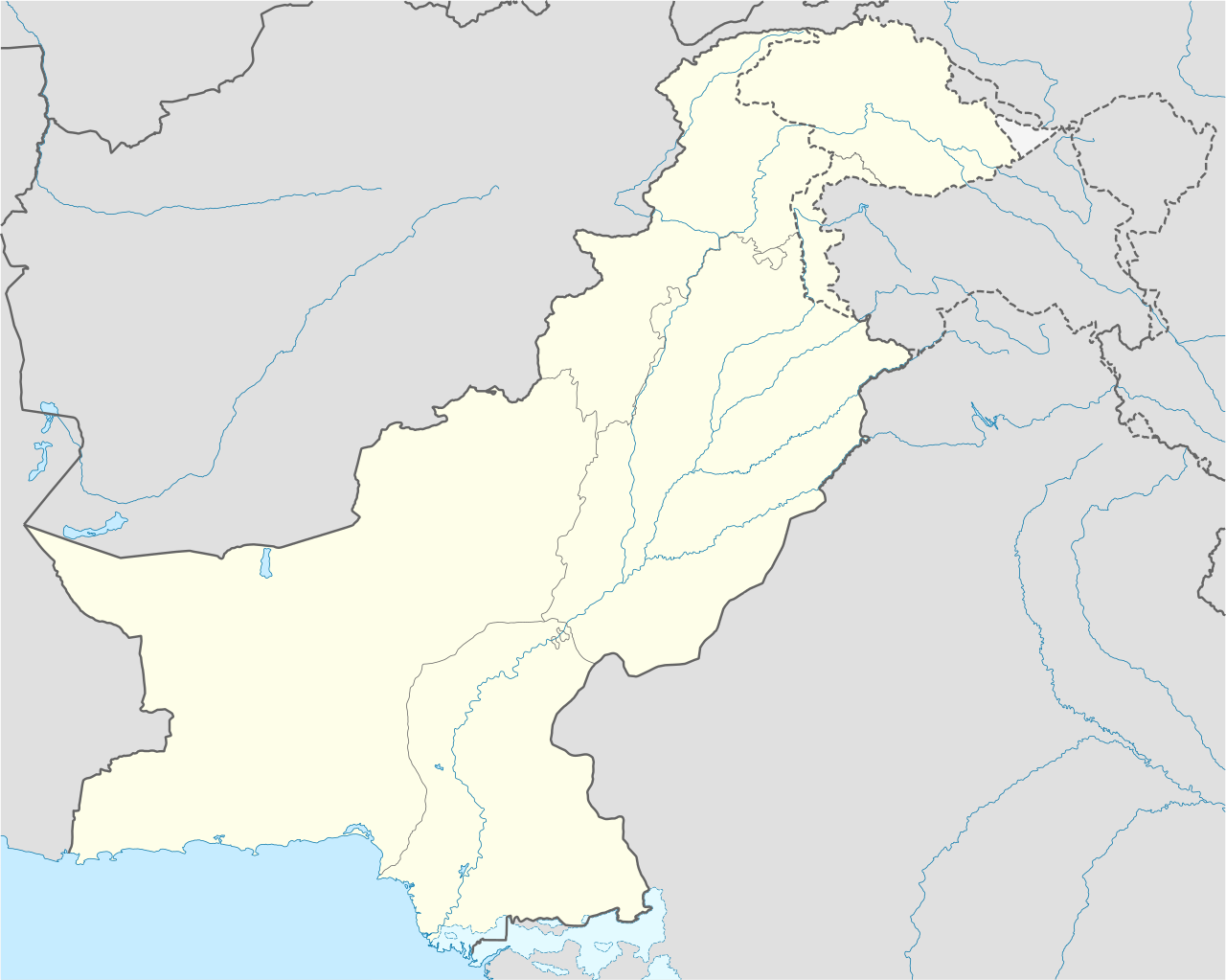
| Province |  Balochistan Balochistan |
| District | Pishin |
| Government | |
| • Deputy Commissioner | Dr. Yasir Khan Bazai |
| • Assistant Commissioner | N/A |
| Elevation | 1,555 m (5,102 ft) |
| Highest elevation | 1,700 m (5,500 ft) |
| Lowest elevation | 1,400 m (4,500 ft) |
| Population (2023)[1] | |
• City | 107,646 |
| Time zone | UTC+5 (PST) |
| Postal code | 86700 |
| Calling code | 826[2] |


Pishin (Balochi: پشین) is a city in Balochistan that serves as the administrative headquarters of Pishin District in Pakistan's Balochistan province.[3]
History
Formerly part of the Afghan Durrani Empire, Pishin was established by the British Empire as a military and civil station in 1883.[4] It played a role in the three Anglo-Afghan Wars (1838-1919). Local tribes from the area assisted the Afghans in fighting the British by attacking British military convoys en route to Afghanistan. During World War II, the British built two airbases in the district; one near the town of Pishin and the other in Saranan.[citation needed]
Geography
Pishin is located in the northwest of Balochistan,[5] near the border with Afghanistan. Tremors from the 2008 Ziarat earthquake were felt in the town.
Climate
In the summer, temperatures can reach 40 °C (104 °F). In the winter, temperatures can decrease to below freezing.
Agriculture
The region is known in Balochistan for fruit production. It supplies a variety of fruits, such as apples.
Demographics
Population
| Year | Pop. | ±% p.a. |
|---|---|---|
| 1951 | 3,106 | — |
| 1961 | 2,906 | −0.66% |
| 1972 | 10,068 | +11.96% |
| 1981 | 14,715 | +4.31% |
| 1998 | 22,955 | +2.65% |
| 2017 | 35,577 | +2.33% |
| 2023 | 107,646 | +20.26% |
| Sources:[6] | ||
According to 2023 census, Pishin had a population of 107,646.
Languages
Religion
| Religious group |
1941[8]: 13–14 | 2017[9][10] | ||
|---|---|---|---|---|
| Pop. | % | Pop. | % | |
Islam 
|
1,245 | 65.87% | 35,067 | 98.65% |
Hinduism 
|
447 | 23.65% | 3 | 0.01% |
Sikhism 
|
183 | 9.68% | N/a | N/a |
Christianity 
|
15 | 0.79% | 473 | 1.33% |
Ahmadiyya 
|
N/a | N/a | 4 | 0.01% |
| Total population | 1,890 | 100% | 35,547 | 100% |
Transport
Transport is mostly by car or bus. The town connects with Quetta, Khanozai, Barshore, and Saranan. In 1883, a major railway and road were constructed to connect towns in Pakistan.
- Ghazi faiz mohammad tareen the hero how fight against the British Empire
- Qazi Muhammad Essa, senior leader of the Pakistan Movement and a close associate of Quaid-e-Azam
- Jennifer Musa, politician and lady social worker
- Jehangir Ashraf Qazi, diplomat, former Pakistani ambassador to the United States
- Qazi Faez Isa, Chief Justice of the Supreme Court of Pakistan
- Sultan Golden, motorcycle stuntman
- Haseebullah Khan, cricketer
References
- ^ Citypopulation.de Balochistān (Pakistan): Province and Major cities, Municipalities & Towns
- ^ "National Dialing Codes". PTCL. Archived from the original on 9 November 2015. Retrieved 8 February 2022.
- ^ Tehsils & Unions in the District of Pishin – Government of Pakistan [dead link]
- ^ "Pshin". Encyclopædia Britannica. Encyclopædia Britannica Online. Encyclopædia Britannica Inc., 2015. Web. 02 Apr. 2015.
- ^ "Location of Pshin – Falling Rain Genomics". Retrieved 9 November 2014.[dead link]
- ^ "Population by administrative units 1951-1998" (PDF). Pakistan Bureau of Statistics.
- ^ "Pakistan Bureau of Statistics – Data, Statistics, Decisions" (PDF). www.pbs.gov.pk. Retrieved 24 October 2025.
- ^ "CENSUS OF INDIA, 1941 VOLUME XIV BALUCHISTAN". Retrieved 27 January 2023.
- ^ "Final Results (Census-2017)". Retrieved 27 January 2023.
- ^ "District Wise Results / Tables (Census - 2017) TABLE 9 - POPULATION BY SEX, RELIGION AND RURAL/URBAN" (PDF). Retrieved 27 January 2023.
External links
- Pishin background
- Pishin: Britannica
