Following are circles of latitude between the 65th parallel north and the 70th parallel north. This includes the Arctic Circle, at 66°33′49.6″ north.
66th parallel north
.svg/1280px-World_location_map_(equirectangular_180).svg.png)
The 66th parallel north is a circle of latitude that is 66 degrees north of the Earth's equatorial plane, approximately 61 kilometres (38 mi) south of the Arctic Circle. It crosses the Atlantic Ocean, Europe, Asia and North America.
This latitude also roughly corresponds to the minimum latitude in which midnight sun can last all night near the summer solstice.
At this latitude midnight sun lasts from about 12 to 29 June, and the sun is visible for 2 hours, 47 minutes during the winter solstice. At midnight on the summer solstice, the altitude of the sun is 0.00°.
Around the world
Starting at the Prime Meridian and heading eastwards, the parallel 66° north passes through:
Coordinates Country, territory or ocean Notes 66°0′N 0°0′E / 66.000°N 0.000°E / 66.000; 0.000 (Prime Meridian) Atlantic Ocean Norwegian Sea 66°0′N 11°50′E / 66.000°N 11.833°E / 66.000; 11.833 (Norwegian Sea) Gåsværfjorden, Herøy, Norwegian Sea[1] 66°0′N 12°0′E / 66.000°N 12.000°E / 66.000; 12.000 (Norway)  Norway
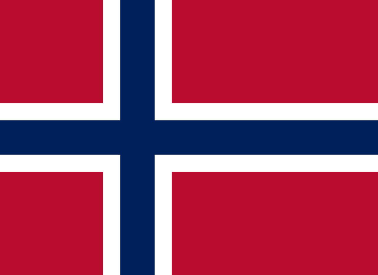
Skerries of Steinan, Nordland 66°0′N 12°5′E / 66.000°N 12.083°E / 66.000; 12.083 (Norwegian Sea) Atlantic Ocean Oddfjorden, Norwegian Sea 66°0′N 12°8′E / 66.000°N 12.133°E / 66.000; 12.133 (Norway) Norway
Islands and skerries of Vardøya and Ytre Øksningan, Nordland 66°0′N 12°14′E / 66.000°N 12.233°E / 66.000; 12.233 (Norwegian Sea) Atlantic Ocean Øksningssundet, Norwegian Sea 66°0′N 12°16′E / 66.000°N 12.267°E / 66.000; 12.267 (Norway) Norway
Hestøya, Nordland 66°0′N 12°17′E / 66.000°N 12.283°E / 66.000; 12.283 (Norwegian Sea) Atlantic Ocean Hestøysundet, Norwegian Sea 66°0′N 12°18′E / 66.000°N 12.300°E / 66.000; 12.300 (Norway) Norway
Nord-Herøy, Nordland 66°0′N 12°21′E / 66.000°N 12.350°E / 66.000; 12.350 (Norwegian Sea) Atlantic Ocean Gautholet, Norwegian Sea 66°0′N 12°23′E / 66.000°N 12.383°E / 66.000; 12.383 (Norway) Norway
Hjartøya, Nordland 66°0′N 12°24′E / 66.000°N 12.400°E / 66.000; 12.400 (Norwegian Sea) Atlantic Ocean Alstenfjorden, Norwegian Sea[2] 66°0′N 12°33′E / 66.000°N 12.550°E / 66.000; 12.550 (Norway) Norway
Alsta, Nordland[3] 66°0′N 12°38′E / 66.000°N 12.633°E / 66.000; 12.633 (Norwegian Sea) Atlantic Ocean Leirfjorden, Norwegian Sea 66°0′N 12°42′E / 66.000°N 12.700°E / 66.000; 12.700 (Norway) Norway
Alsta, Nordland; passing just south of Sandnessjøen 66°0′N 12°54′E / 66.000°N 12.900°E / 66.000; 12.900 (Norwegian Sea) Atlantic Ocean Vefsnfjorden, Norwegian Sea 66°0′N 12°57′E / 66.000°N 12.950°E / 66.000; 12.950 (Norway) Norway
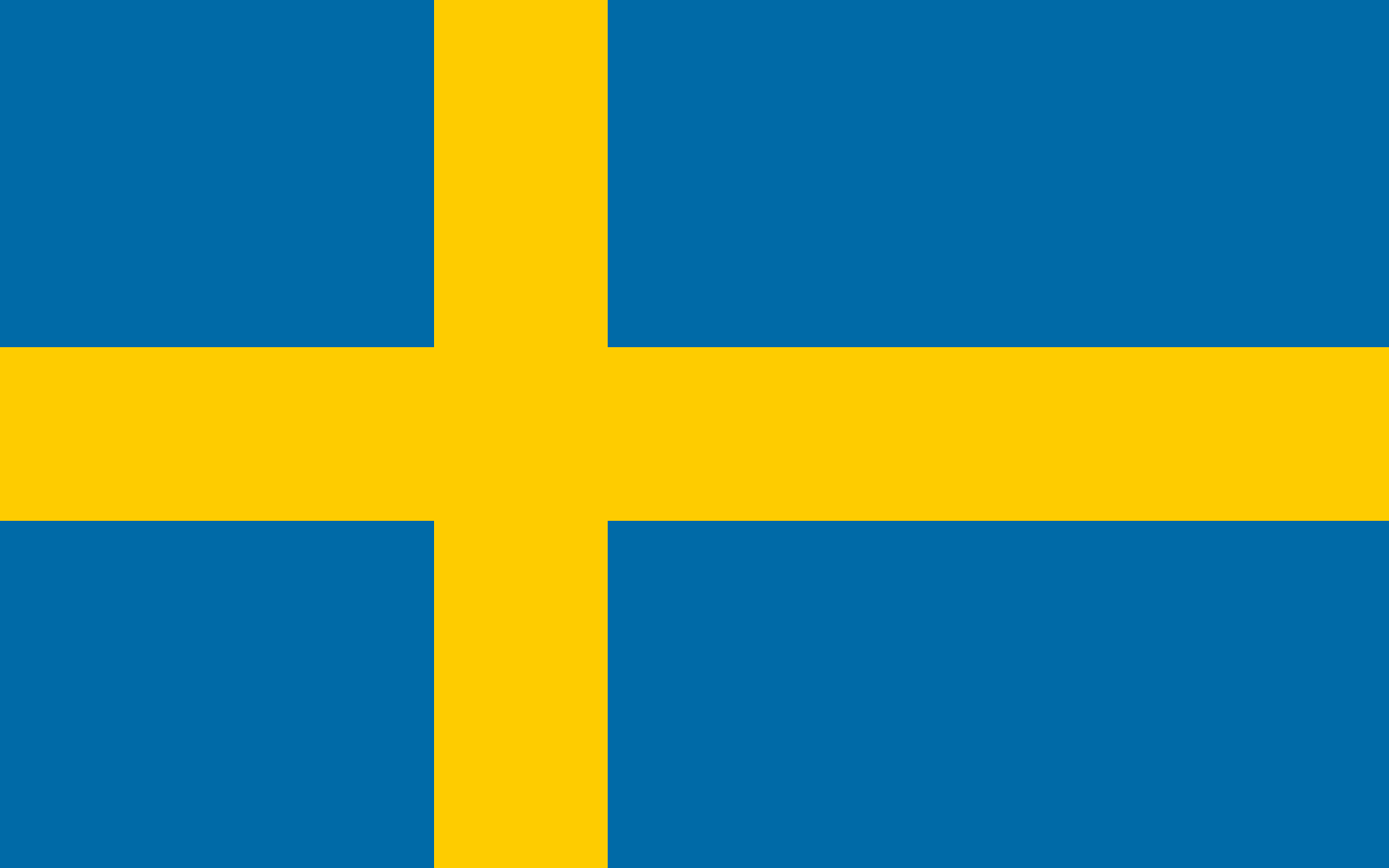
Mainland Nordland 66°0′N 14°33′E / 66.000°N 14.550°E / 66.000; 14.550 (Sweden) Sweden
66°0′N 24°2′E / 66.000°N 24.033°E / 66.000; 24.033 (Finland) Finland
66°0′N 30°0′E / 66.000°N 30.000°E / 66.000; 30.000 (Russia) Russia
66°0′N 34°37′E / 66.000°N 34.617°E / 66.000; 34.617 (White Sea) Arctic Ocean White Sea, Barents Sea 66°0′N 40°54′E / 66.000°N 40.900°E / 66.000; 40.900 (Russia) Russia
66°0′N 179°45′W / 66.000°N 179.750°W / 66.000; -179.750 (Bering Sea) Pacific Ocean Gulf of Anadyr, Bering Sea 66°0′N 178°52′W / 66.000°N 178.867°W / 66.000; -178.867 (Russia) Russia
Chukchi Peninsula 66°0′N 170°11′W / 66.000°N 170.183°W / 66.000; -170.183 (Bering Strait) Pacific Ocean Bering Strait 66°0′N 166°58′W / 66.000°N 166.967°W / 66.000; -166.967 (United States) United States
Alaska 66°0′N 141°0′W / 66.000°N 141.000°W / 66.000; -141.000 (Canada) Canada
Yukon
Northwest Territories – for ≈16 km
Yukon – for ≈16 km
Northwest Territories – for ≈9 km
Yukon – for ≈8 km
Northwest Territories – passing through Great Bear Lake
Nunavut66°0′N 86°4′W / 66.000°N 86.067°W / 66.000; -86.067 (Roes Welcome Sound) Arctic Ocean Roes Welcome Sound, Hudson Bay 66°0′N 85°9′W / 66.000°N 85.150°W / 66.000; -85.150 (Canada) Canada
Nunavut – White Island 66°0′N 84°53′W / 66.000°N 84.883°W / 66.000; -84.883 (Frozen Strait) Arctic Ocean Frozen Strait 66°0′N 84°22′W / 66.000°N 84.367°W / 66.000; -84.367 (Canada) Canada
Nunavut – Vansittart Island 66°0′N 83°52′W / 66.000°N 83.867°W / 66.000; -83.867 (Foxe Basin) Arctic Ocean Foxe Basin 66°0′N 83°33′W / 66.000°N 83.550°W / 66.000; -83.550 (Canada) Canada
Nunavut – Nunaariatjuaq Island 66°0′N 83°30′W / 66.000°N 83.500°W / 66.000; -83.500 (Foxe Basin) Arctic Ocean Foxe Basin 66°0′N 74°17′W / 66.000°N 74.283°W / 66.000; -74.283 (Canada) Canada
Nunavut – Baffin Island 66°0′N 67°0′W / 66.000°N 67.000°W / 66.000; -67.000 (Cumberland Sound) Arctic Ocean Cumberland Sound, Labrador Sea 66°0′N 65°57′W / 66.000°N 65.950°W / 66.000; -65.950 (Canada) Canada
Nunavut – Baffin Island 66°0′N 61°59′W / 66.000°N 61.983°W / 66.000; -61.983 (Davis Strait) Arctic Ocean Davis Strait 66°0′N 53°27′W / 66.000°N 53.450°W / 66.000; -53.450 (Greenland) Greenland
Serfartooq 66°0′N 37°50′W / 66.000°N 37.833°W / 66.000; -37.833 (Sermilik) Atlantic Ocean Sermilik, Denmark Strait 66°0′N 35°46′W / 66.000°N 35.767°W / 66.000; -35.767 (Greenland) Greenland
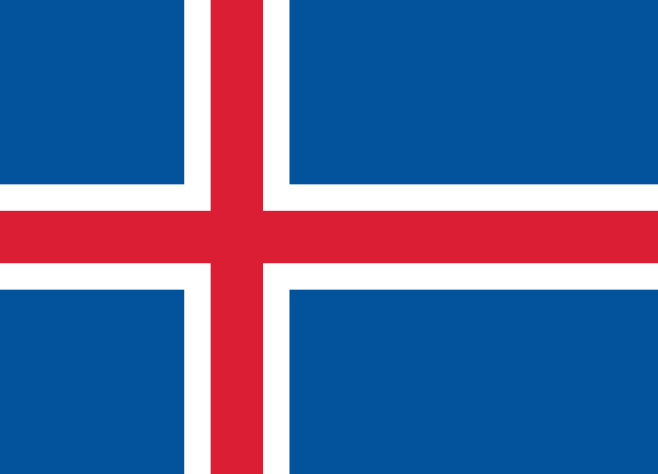
Moroene 66°0′N 35°44′W / 66.000°N 35.733°W / 66.000; -35.733 (Atlantic Ocean) Atlantic Ocean Denmark Strait 66°0′N 23°48′W / 66.000°N 23.800°W / 66.000; -23.800 (Iceland) Iceland
Westfjords peninsula[4] 66°0′N 20°29′W / 66.000°N 20.483°W / 66.000; -20.483 (Atlantic Ocean) Atlantic Ocean Húnaflói 66°0′N 20°31′W / 66.000°N 20.517°W / 66.000; -20.517 (Iceland) Iceland
Skagaströnd town on Skagi peninsula 66°0′N 19°56′W / 66.000°N 19.933°W / 66.000; -19.933 (Atlantic Ocean) Atlantic Ocean Skagafjörður 66°0′N 19°41′W / 66.000°N 19.683°W / 66.000; -19.683 (Iceland) Iceland
Tröllaskagi peninsula 66°0′N 18°47′W / 66.000°N 18.783°W / 66.000; -18.783 (Atlantic Ocean) Atlantic Ocean Eyjafjörður by Dalvík town 66°0′N 18°18′W / 66.000°N 18.300°W / 66.000; -18.300 (Iceland) Iceland
Flateyjarskagi og Fjörður peninsula 66°0′N 17°58′W / 66.000°N 17.967°W / 66.000; -17.967 (Atlantic Ocean) Atlantic Ocean Skjálfandi 66°0′N 17°33′W / 66.000°N 17.550°W / 66.000; -17.550 (Iceland) Iceland
Tjörnes by Húsavík, exiting by Langanes 66°0′N 14°38′W / 66.000°N 14.633°W / 66.000; -14.633 (Atlantic Ocean) Atlantic Ocean Greenland Sea
Norwegian Sea


.svg/1280px-Flag_of_Canada_(Pantone).svg.png)

.svg)
.svg)
67th parallel north
The 67th parallel north is a circle of latitude that is 67 degrees north of the Earth's equatorial plane, approximately 50 km north of the Arctic Circle. It crosses the Atlantic Ocean, Europe, Asia and North America.
At this latitude midnight sun lasts from approximately 2 June to 10 July, and the sun is visible for about 1 hour and 30 minutes during the winter solstice. At midnight on the summer solstice, the altitude of the sun is 0.85°.
If the latitude in the northern hemisphere is 67°45′ or smaller, every day in the month of March can view both astronomical dawn and astronomical dusk.
Around the world
Starting at the Prime Meridian and heading eastwards, the parallel 67° north passes through:
Coordinates Country, territory or ocean Notes 67°0′N 0°0′E / 67.000°N 0.000°E / 67.000; 0.000 (Prime Meridian) Atlantic Ocean Norwegian Sea 67°0′N 12°12′E / 67.000°N 12.200°E / 67.000; 12.200 (Vestfjorden) Vestfjorden, Norwegian Sea 67°0′N 13°38′E / 67.000°N 13.633°E / 67.000; 13.633 (Vestfjorden) Fugløyfjorden, Norwegian Sea 67°0′N 13°52′E / 67.000°N 13.867°E / 67.000; 13.867 (Norway) Norway
Høgstjerna, Nordland 67°0′N 14°0′E / 67.000°N 14.000°E / 67.000; 14.000 (Vestfjorden) Atlantic Ocean Sørfjorden, Norwegian Sea 67°0′N 14°3′E / 67.000°N 14.050°E / 67.000; 14.050 (Norway) Norway
Mainland Nordland 67°0′N 14°8′E / 67.000°N 14.133°E / 67.000; 14.133 (Vestfjorden) Atlantic Ocean Morsdalsfjorden, Norwegian Sea 67°0′N 14°14′E / 67.000°N 14.233°E / 67.000; 14.233 (Norway) Norway
Mainland Nordland; passing just north of Røkland 67°0′N 16°16′E / 67.000°N 16.267°E / 67.000; 16.267 (Sweden) Sweden
north of the Gulf of Bothnia 67°0′N 23°47′E / 67.000°N 23.783°E / 67.000; 23.783 (Finland) Finland
67°0′N 29°5′E / 67.000°N 29.083°E / 67.000; 29.083 (Russia) Russia
67°0′N 32°33′E / 67.000°N 32.550°E / 67.000; 32.550 (White Sea) Arctic Ocean Kandalaksha Gulf, White Sea, Barents Sea 67°0′N 32°49′E / 67.000°N 32.817°E / 67.000; 32.817 (Russia) Russia
67°0′N 41°20′E / 67.000°N 41.333°E / 67.000; 41.333 (White Sea) Arctic Ocean White Sea, Barents Sea 67°0′N 44°23′E / 67.000°N 44.383°E / 67.000; 44.383 (Russia) Russia
Kanin Peninsula 67°0′N 45°41′E / 67.000°N 45.683°E / 67.000; 45.683 (Barents Sea) Arctic Ocean Chosha Bay, Barents Sea 67°0′N 47°43′E / 67.000°N 47.717°E / 67.000; 47.717 (Russia) Russia
67°0′N 71°55′E / 67.000°N 71.917°E / 67.000; 71.917 (Gulf of Ob) Arctic Ocean Gulf of Ob, Kara Sea 67°0′N 73°53′E / 67.000°N 73.883°E / 67.000; 73.883 (Russia) Russia
67°0′N 172°28′W / 67.000°N 172.467°W / 67.000; -172.467 (Chukchi Sea) Arctic Ocean Chukchi Sea 67°0′N 162°51′W / 67.000°N 162.850°W / 67.000; -162.850 (United States) United States
Alaska 67°0′N 141°0′W / 67.000°N 141.000°W / 67.000; -141.000 (Canada) Canada
Yukon
Northwest Territories - passing through the northernmost point of Great Bear Lake
Nunavut67°0′N 81°36′W / 67.000°N 81.600°W / 67.000; -81.600 (Foxe Basin) Arctic Ocean Foxe Basin 67°0′N 72°49′W / 67.000°N 72.817°W / 67.000; -72.817 (Canada) Canada
Nunavut - Baffin Island 67°0′N 62°2′W / 67.000°N 62.033°W / 67.000; -62.033 (Davis Strait) Arctic Ocean Davis Strait 67°0′N 53°40′W / 67.000°N 53.667°W / 67.000; -53.667 (Greenland) Greenland
Russell Glacier
Passing just south of Cape Warming67°0′N 33°44′W / 67.000°N 33.733°W / 67.000; -33.733 (Atlantic Ocean) Atlantic Ocean Denmark Strait
Greenland Sea — passing just south of Kolbeinsey, Iceland (at 67°8′N 18°41′W / 67.133°N 18.683°W / 67.133; -18.683 (Kolbeinsey))
Norwegian Sea
68th parallel north
The 68th parallel north is a circle of latitude that is 68 degrees north of the Earth's equatorial plane, in the Arctic. It crosses the Atlantic Ocean, Europe, Asia and North America.
At this latitude midnight sun lasts from about May 26th to July 16th, and civil polar twilight from about December 9th to January 3rd. At noon on the summer and winter solstices, the altitude of the sun is 45.45° and -0.7° respectively. At midnight on the summer solstice, the altitude of the sun is 1.76°.
This latitude is the boundary between the Southern and Arctic zones of Canada's National Topographic System, at which the longitude span of each map sheet doubles as one crosses this latitude going north.
Around the world
Starting at the Prime Meridian and heading eastwards, the parallel 68° north passes through:
Coordinates Country, territory or ocean Notes 68°0′N 0°0′E / 68.000°N 0.000°E / 68.000; 0.000 (Prime Meridian) Atlantic Ocean Norwegian Sea 68°0′N 13°0′E / 68.000°N 13.000°E / 68.000; 13.000 (Norway) Norway
Moskenesøya, Lofoten, Nordland 68°0′N 13°17′E / 68.000°N 13.283°E / 68.000; 13.283 (Vestfjord) Atlantic Ocean Vestfjorden, Norwegian Sea 68°0′N 15°4′E / 68.000°N 15.067°E / 68.000; 15.067 (Norway) Norway
Engeløya, Nordland 68°0′N 15°7′E / 68.000°N 15.117°E / 68.000; 15.117 (Vestfjord) Atlantic Ocean Skagstadsundet, Norwegian Sea 68°0′N 15°4′E / 68.000°N 15.067°E / 68.000; 15.067 (Norway) Norway
Lundøya and Finnøya, and the mainland Nordland 68°0′N 13°17′E / 68.000°N 13.283°E / 68.000; 13.283 (Vestfjord) Atlantic Ocean Vestfjorden, Norwegian Sea 68°0′N 15°4′E / 68.000°N 15.067°E / 68.000; 15.067 (Norway) Norway
Engeløya, Lundøya and Finnøya, and the mainland Nordland 68°0′N 13°17′E / 68.000°N 13.283°E / 68.000; 13.283 (Vestfjord) Atlantic Ocean Vestfjorden, Norwegian Sea 68°0′N 15°6′E / 68.000°N 15.100°E / 68.000; 15.100 (Norway) Norway
Islands of Engeløya, Lundøya and Finnøya, and the mainland Nordland 68°0′N 17°1′E / 68.000°N 17.017°E / 68.000; 17.017 (Sweden) Sweden
Norrbotten County (Lapland province) 68°0′N 17°48′E / 68.000°N 17.800°E / 68.000; 17.800 (Norway) Norway
Nordland, for about 5,8 km 68°0′N 17°56′E / 68.000°N 17.933°E / 68.000; 17.933 (Sweden) Sweden
Norrbotten County (Lapland and Norrbotten provinces) 68°0′N 23°33′E / 68.000°N 23.550°E / 68.000; 23.550 (Finland) Finland
Lapland 68°0′N 29°25′E / 68.000°N 29.417°E / 68.000; 29.417 (Russia) Russia
Kola Peninsula, Murmansk Oblast 68°0′N 39°58′E / 68.000°N 39.967°E / 68.000; 39.967 (White Sea) Arctic Ocean White Sea 68°0′N 44°14′E / 68.000°N 44.233°E / 68.000; 44.233 (Russia) Russia
Kanin Peninsula, Nenets Autonomous Okrug 68°0′N 46°33′E / 68.000°N 46.550°E / 68.000; 46.550 (Barents Sea) Arctic Ocean Barents Sea 68°0′N 49°43′E / 68.000°N 49.717°E / 68.000; 49.717 (Russia) Russia
Nenets Autonomous Okrug
Komi Republic
Yamalo-Nenets Autonomous Okrug68°0′N 73°6′E / 68.000°N 73.100°E / 68.000; 73.100 (Gulf of Ob) Arctic Ocean Gulf of Ob, Kara Sea 68°0′N 74°48′E / 68.000°N 74.800°E / 68.000; 74.800 (Russia) Russia
Yamalo-Nenets Autonomous Okrug 68°0′N 77°12′E / 68.000°N 77.200°E / 68.000; 77.200 (Taz Estuary) Arctic Ocean Taz Estuary, Kara Sea 68°0′N 77°30′E / 68.000°N 77.500°E / 68.000; 77.500 (Russia) Russia
Yamalo-Nenets Autonomous Okrug
Krasnoyarsk Krai
Yakutia
Chukotka Autonomous Okrug68°0′N 176°31′W / 68.000°N 176.517°W / 68.000; -176.517 (Chukchi Sea) Arctic Ocean Chukchi Sea 68°0′N 165°15′W / 68.000°N 165.250°W / 68.000; -165.250 (United States) United States
Alaska 68°0′N 141°0′W / 68.000°N 141.000°W / 68.000; -141.000 (Canada) Canada
Yukon
Northwest Territories
Nunavut68°0′N 115°7′W / 68.000°N 115.117°W / 68.000; -115.117 (Coronation Gulf) Arctic Ocean Coronation Gulf
Passing just north of the Couper, Berens and Lawford Islands
Passing just north of Hepburn Island
Passing just south of the Jameson Islands68°0′N 110°9′W / 68.000°N 110.150°W / 68.000; -110.150 (Canada) Canada
Nunavut 68°0′N 110°0′W / 68.000°N 110.000°W / 68.000; -110.000 (Bathurst Inlet) Arctic Ocean Bathurst Inlet 68°0′N 109°26′W / 68.000°N 109.433°W / 68.000; -109.433 (Canada) Canada
Nunavut - Chapman Islands 68°0′N 109°0′W / 68.000°N 109.000°W / 68.000; -109.000 (Bathurst Inlet) Arctic Ocean Bathurst Inlet
Passing just north of Lewes Island
Fishers Island68°0′N 107°53′W / 68.000°N 107.883°W / 68.000; -107.883 (Canada) Canada
Nunavut 68°0′N 103°17′W / 68.000°N 103.283°W / 68.000; -103.283 (Queen Maud Gulf) Arctic Ocean Queen Maud Gulf 68°0′N 98°59′W / 68.000°N 98.983°W / 68.000; -98.983 (Canada) Canada
Nunavut - O'Reilly Island, Klutschak Peninsula and Adelaide Peninsula 68°0′N 96°6′W / 68.000°N 96.100°W / 68.000; -96.100 (Chantrey Inlet) Arctic Ocean Chantrey Inlet 68°0′N 95°25′W / 68.000°N 95.417°W / 68.000; -95.417 (Canada) Canada
Nunavut 68°0′N 88°20′W / 68.000°N 88.333°W / 68.000; -88.333 (Committee Bay) Arctic Ocean Committee Bay 68°0′N 86°48′W / 68.000°N 86.800°W / 68.000; -86.800 (Canada) Canada
Nunavut - Wales Island and Melville Peninsula 68°0′N 82°9′W / 68.000°N 82.150°W / 68.000; -82.150 (Foxe Basin) Arctic Ocean Foxe Basin 68°0′N 77°2′W / 68.000°N 77.033°W / 68.000; -77.033 (Canada) Canada
Nunavut - Prince Charles Island, Air Force Island and Baffin Island 68°0′N 64°46′W / 68.000°N 64.767°W / 68.000; -64.767 (Davis Strait) Arctic Ocean Davis Strait 68°0′N 50°20′W / 68.000°N 50.333°W / 68.000; -50.333 (Greenland) Greenland
Avannaata
Sermersooq68°0′N 31°49′W / 68.000°N 31.817°W / 68.000; -31.817 (Atlantic Ocean) Atlantic Ocean Greenland Sea
Norwegian Sea
69th parallel north
The 69th parallel north is a circle of latitude that is 69 degrees north of the Earth's equatorial plane, in the Arctic. It crosses the Atlantic Ocean, Europe, Asia and North America, and passes through some of the southern seas of the Arctic Ocean.
At this latitude the midnight sun lasts from about May 20th to July 22nd, and civil polar twilight from about December 1st to January 11th. At noon on the summer and winter solstices, the altitude of the sun is 44.45° and -1.52° respectively. At midnight on the summer solstice, the altitude of the sun is 2.69°.
If the latitude in northern hemisphere is 69°48′ or smaller, every day in September can view both nautical dawn and dusk. Also, if the latitude in northern hemisphere is 69°10′ or smaller, every day in April can view both civil dawn and dusk.
Around the world
Starting at the Prime Meridian and heading eastwards, the parallel 69° north passes through:
Coordinates Country, territory or sea Notes 69°0′N 0°0′E / 69.000°N 0.000°E / 69.000; 0.000 (Prime Meridian) Atlantic Ocean Norwegian Sea 69°0′N 15°0′E / 69.000°N 15.000°E / 69.000; 15.000 (Norway) Norway
Islands of Langøya, Andøya, Bjarkøya and Dyrøya, and the mainland Troms 69°0′N 20°9′E / 69.000°N 20.150°E / 69.000; 20.150 (Sweden) Sweden
Norrbotten County (Lapland province)
Passing 6.7 km south of the tripoint between Finland, Norway and Sweden69°0′N 20°50′E / 69.000°N 20.833°E / 69.000; 20.833 (Finland) Finland
Lapland 69°0′N 22°6′E / 69.000°N 22.100°E / 69.000; 22.100 (Norway) Norway
Troms 69°0′N 25°44′E / 69.000°N 25.733°E / 69.000; 25.733 (Finland) Finland
Lapland 69°0′N 28°44′E / 69.000°N 28.733°E / 69.000; 28.733 (Russia) Russia
Kola Peninsula, Murmansk Oblast
Passing 5.8 km south of the tripoint between Finland, Norway and Russia
Passing northern parts of Murmansk69°0′N 36°37′E / 69.000°N 36.617°E / 69.000; 36.617 (Barents Sea) Arctic Ocean Barents Sea 69°0′N 48°12′E / 69.000°N 48.200°E / 69.000; 48.200 (Russia) Russia
Island of Kolguyev, Nenets Autonomous Okrug 69°0′N 50°10′E / 69.000°N 50.167°E / 69.000; 50.167 (Barents Sea) Arctic Ocean Pechora Sea, Barents Sea 69°0′N 60°57′E / 69.000°N 60.950°E / 69.000; 60.950 (Russia) Russia
Yugorsky Peninsula, Nenets Autonomous Okrug
Yamalo-Nenets Autonomous Okrug69°0′N 66°24′E / 69.000°N 66.400°E / 69.000; 66.400 (Kara Sea) Arctic Ocean Baydaratskaya Bay, Kara Sea 69°0′N 68°26′E / 69.000°N 68.433°E / 69.000; 68.433 (Russia) Russia
Yamal Peninsula, Yamalo-Nenets Autonomous Okrug 69°0′N 72°31′E / 69.000°N 72.517°E / 69.000; 72.517 (Gulf of Ob) Arctic Ocean Gulf of Ob, Kara Sea 69°0′N 74°5′E / 69.000°N 74.083°E / 69.000; 74.083 (Taz Estuary) Arctic Ocean Taz Estuary, Kara Sea 69°0′N 76°58′E / 69.000°N 76.967°E / 69.000; 76.967 (Russia) Russia
Yamalo-Nenets Autonomous Okrug
Krasnoyarsk Krai
Yakutia
Chukotka Autonomous Okrug69°0′N 169°24′E / 69.000°N 169.400°E / 69.000; 169.400 (East Siberian Sea) Arctic Ocean Chaunskaya Bay, East Siberian Sea 69°0′N 170°54′E / 69.000°N 170.900°E / 69.000; 170.900 (Russia) Russia
Chukotka Autonomous Okrug 69°0′N 179°56′E / 69.000°N 179.933°E / 69.000; 179.933 (Chukchi Sea) Arctic Ocean Chukchi Sea 69°0′N 163°54′W / 69.000°N 163.900°W / 69.000; -163.900 (United States) United States
Alaska 69°0′N 141°0′W / 69.000°N 141.000°W / 69.000; -141.000 (Canada) Canada
Inuvialuit Settlement Region, Yukon 69°0′N 137°28′W / 69.000°N 137.467°W / 69.000; -137.467 (Beaufort Sea) Arctic Sea Mackenzie Bay, Beaufort Sea 69°0′N 136°7′W / 69.000°N 136.117°W / 69.000; -136.117 (Canada) Canada
Mackenzie River delta and mainland Northwest Territories
Nunavut69°0′N 117°53′W / 69.000°N 117.883°W / 69.000; -117.883 (Dolphin and Union Strait) Arctic Sea Dolphin and Union Strait 69°0′N 115°53′W / 69.000°N 115.883°W / 69.000; -115.883 (Canada) Canada
(unnamed peninsula) Nunavut 69°0′N 115°47′W / 69.000°N 115.783°W / 69.000; -115.783 (Dolphin and Union Strait) Arctic Sea Dolphin and Union Strait 69°0′N 113°33′W / 69.000°N 113.550°W / 69.000; -113.550 (Canada) Canada
Victoria Island, Nunavut 69°0′N 107°24′W / 69.000°N 107.400°W / 69.000; -107.400 (Dease Strait) Arctic Sea Dease Strait 69°0′N 105°4′W / 69.000°N 105.067°W / 69.000; -105.067 (Canada) Canada
Victoria Island, Nunavut 69°0′N 101°48′W / 69.000°N 101.800°W / 69.000; -101.800 (Victoria Strait) Arctic Sea Victoria Strait 69°0′N 100°36′W / 69.000°N 100.600°W / 69.000; -100.600 (Canada) Canada
Royal Geographical Society Islands, Nunavut 69°0′N 99°59′W / 69.000°N 99.983°W / 69.000; -99.983 (Alexandra Strait) Arctic Sea Alexandra Strait 69°0′N 99°31′W / 69.000°N 99.517°W / 69.000; -99.517 (Canada) Canada
King William Island, Nunavut 69°0′N 95°53′W / 69.000°N 95.883°W / 69.000; -95.883 (Rae Strait) Arctic Sea Rae Strait 69°0′N 94°21′W / 69.000°N 94.350°W / 69.000; -94.350 (Canada) Canada
(unnamed peninsula) Nunavut 69°0′N 90°40′W / 69.000°N 90.667°W / 69.000; -90.667 (Pelly Bay) Arctic Sea Pelly Bay, Gulf of Boothia 69°0′N 90°9′W / 69.000°N 90.150°W / 69.000; -90.150 (Canada) Canada
(unnamed islands) Nunavut 69°0′N 89°54′W / 69.000°N 89.900°W / 69.000; -89.900 (Pelly Bay) Arctic Sea Gulf of Boothia 69°0′N 89°42′W / 69.000°N 89.700°W / 69.000; -89.700 (Canada) Canada
Simpson Peninsula, Nunavut 69°0′N 88°30′W / 69.000°N 88.500°W / 69.000; -88.500 (Committee Bay) Arctic Sea Committee Bay, Gulf of Boothia 69°0′N 85°25′W / 69.000°N 85.417°W / 69.000; -85.417 (Canada) Canada
Islands off coast and mainland Melville Peninsula, Nunavut 69°0′N 81°30′W / 69.000°N 81.500°W / 69.000; -81.500 (Foxe Basin) Arctic Sea Foxe Basin 69°0′N 79°18′W / 69.000°N 79.300°W / 69.000; -79.300 (Canada) Canada
Rowley Island, Nunavut 69°0′N 78°42′W / 69.000°N 78.700°W / 69.000; -78.700 (Foxe Basin) Arctic Sea Foxe Basin 69°0′N 76°37′W / 69.000°N 76.617°W / 69.000; -76.617 (Canada) Canada
Baffin Island, Nunavut 69°0′N 68°0′W / 69.000°N 68.000°W / 69.000; -68.000 (Davis Strait) Arctic Sea Davis Strait 69°0′N 51°08′W / 69.000°N 51.133°W / 69.000; -51.133 (Greenland) Greenland
Avannaata
Sermersooq69°0′N 25°40′W / 69.000°N 25.667°W / 69.000; -25.667 (Atlantic Ocean) Atlantic Ocean Greenland Sea
Norwegian Sea
Notable cities and towns on 69°N
- Cambridge Bay, Nunavut, Canada
- Tromsø, Troms, Norway
- Murmansk, Murmansk Oblast, Russia
- Norilsk, Krasnoyarsk Krai, Russia
- Pevek, Chukotka Autonomous Okrug, Russia
70th parallel north

The 70th parallel north is a circle of latitude that is 70 degrees north of the Earth's equatorial plane, in the Arctic. It crosses the Atlantic Ocean, Europe, Asia and North America, and passes through some of the southern seas of the Arctic Ocean.
At this latitude midnight sun lasts from about May 16th to July 27th, and civil polar twilight from November 25th to January 16th. At noon on the summer and winter solstices, the altitude of the sun is 43.45° and -3.04° respectively. At midnight on the summer solstice, the altitude of the sun is 3.64°.
Around the world
Starting at the Prime Meridian and heading eastwards, the parallel 70° north passes through:
Coordinates Country, territory or sea Notes 70°0′N 0°0′E / 70.000°N 0.000°E / 70.000; 0.000 (Prime Meridian) Atlantic Ocean Norwegian Sea 70°0′N 18°40′E / 70.000°N 18.667°E / 70.000; 18.667 (Norway) Norway
Troms – islands of Rebbenesøya, Ringvassøy, Reinøya, Karlsøya and Kågen; mainland; island of Skorpa; mainland
Finnmark (mainland)70°0′N 27°22′E / 70.000°N 27.367°E / 70.000; 27.367 (Finland) Finland
Passing about 10.3 km (6.3 miles) south of the northernmost point of Finland, which is located at 70°05.537′N 27°57.335′E / 70.092283°N 27.955583°E / 70.092283; 27.955583 in the village of Nuorgam 70°0′N 28°2′E / 70.000°N 28.033°E / 70.000; 28.033 (Norway) Norway
Finnmark 70°0′N 29°30′E / 70.000°N 29.500°E / 70.000; 29.500 (Barents Sea) Barents Sea 70°0′N 58°44′E / 70.000°N 58.733°E / 70.000; 58.733 (Russia) Russia
Vaygach Island 70°0′N 60°12′E / 70.000°N 60.200°E / 70.000; 60.200 (Barents Sea) Kara Sea 70°0′N 66°56′E / 70.000°N 66.933°E / 70.000; 66.933 (Russia) Russia
Yamal Peninsula 70°0′N 72°30′E / 70.000°N 72.500°E / 70.000; 72.500 (Gulf of Ob) Gulf of Ob 70°0′N 73°45′E / 70.000°N 73.750°E / 70.000; 73.750 (Russia) Russia
70°0′N 159°53′E / 70.000°N 159.883°E / 70.000; 159.883 (East Siberian Sea) East Siberian Sea 70°0′N 168°13′E / 70.000°N 168.217°E / 70.000; 168.217 (Russia) Russia
Ayon Island 70°0′N 168°31′E / 70.000°N 168.517°E / 70.000; 168.517 (East Siberian Sea) East Siberian Sea 70°0′N 170°35′E / 70.000°N 170.583°E / 70.000; 170.583 (Russia) Russia
70°0′N 171°48′E / 70.000°N 171.800°E / 70.000; 171.800 (East Siberian Sea) East Siberian Sea 70°0′N 177°56′E / 70.000°N 177.933°E / 70.000; 177.933 (Chukchi Sea) Chukchi Sea 70°0′N 162°27′W / 70.000°N 162.450°W / 70.000; -162.450 (United States) United States
Alaska 70°0′N 142°34′W / 70.000°N 142.567°W / 70.000; -142.567 (Beaufort Sea) Beaufort Sea 70°0′N 131°2′W / 70.000°N 131.033°W / 70.000; -131.033 (Canada) Canada
Northwest Territories – Tuktoyaktuk Peninsula 70°0′N 129°30′W / 70.000°N 129.500°W / 70.000; -129.500 (Beaufort Sea) Beaufort Sea 70°0′N 128°18′W / 70.000°N 128.300°W / 70.000; -128.300 (Canada) Canada
Northwest Territories – Cape Bathurst Peninsula 70°0′N 126°54′W / 70.000°N 126.900°W / 70.000; -126.900 (Amundsen Gulf) Amundsen Gulf 70°0′N 125°12′W / 70.000°N 125.200°W / 70.000; -125.200 (Canada) Canada
Northwest Territories – Parry Peninsula 70°0′N 124°30′W / 70.000°N 124.500°W / 70.000; -124.500 (Amundsen Gulf) Amundsen Gulf 70°0′N 117°22′W / 70.000°N 117.367°W / 70.000; -117.367 (Canada) Canada
On Victoria Island:
– Northwest Territories
– Northwest Territories / Nunavut border
– Northwest Territories
– Northwest Territories / Nunavut border
– Nunavut70°0′N 100°48′W / 70.000°N 100.800°W / 70.000; -100.800 (Victoria Strait) Victoria Strait 70°0′N 98°50′W / 70.000°N 98.833°W / 70.000; -98.833 (Larsen Sound) Larsen Sound Passing just north of King William Island, Nunavut, Canada
70°0′N 97°35′W / 70.000°N 97.583°W / 70.000; -97.583 (James Ross Strait) James Ross Strait Passing just north of the Clarence Islands, Nunavut, Canada
70°0′N 96°17′W / 70.000°N 96.283°W / 70.000; -96.283 (Canada) Canada
Boothia Peninsula, Nunavut 70°0′N 92°1′W / 70.000°N 92.017°W / 70.000; -92.017 (Gulf of Boothia) Gulf of Boothia 70°0′N 86°54′W / 70.000°N 86.900°W / 70.000; -86.900 (Canada) Canada
Nunavut – Crown Prince Frederik Island 70°0′N 86°27′W / 70.000°N 86.450°W / 70.000; -86.450 (Fury and Hecla Strait) Fury and Hecla Strait 70°0′N 84°20′W / 70.000°N 84.333°W / 70.000; -84.333 (Canada) Canada
Nunavut – Baffin Island 70°0′N 81°9′W / 70.000°N 81.150°W / 70.000; -81.150 (Murray Maxwell Bay) Murray Maxwell Bay 70°0′N 80°19′W / 70.000°N 80.317°W / 70.000; -80.317 (Canada) Canada
Nunavut – Baffin Island 70°0′N 78°39′W / 70.000°N 78.650°W / 70.000; -78.650 (Steensby Inlet) Steensby Inlet 70°0′N 77°41′W / 70.000°N 77.683°W / 70.000; -77.683 (Canada) Canada
Nunavut – Baffin Island 70°0′N 67°20′W / 70.000°N 67.333°W / 70.000; -67.333 (Baffin Bay) Baffin Bay Northern limit of the Davis Strait 70°0′N 53°39′W / 70.000°N 53.650°W / 70.000; -53.650 (Greenland) Greenland
Disko Island 70°0′N 52°30′W / 70.000°N 52.500°W / 70.000; -52.500 (Sullorsuaq Strait) Sullorsuaq Strait 70°0′N 51°28′W / 70.000°N 51.467°W / 70.000; -51.467 (Greenland) Greenland
Nuussuaq Peninsula 70°0′N 50°37′W / 70.000°N 50.617°W / 70.000; -50.617 (Torsukattak Fjord) Torsukattak Fjord 70°0′N 50°10′W / 70.000°N 50.167°W / 70.000; -50.167 (Greenland) Greenland
Sermeq Kujalleq 70°0′N 27°20′W / 70.000°N 27.333°W / 70.000; -27.333 (Gaasefjord) Gaasefjord 70°0′N 25°15′W / 70.000°N 25.250°W / 70.000; -25.250 (Greenland) Greenland
Geikie Plateau 70°0′N 22°18′W / 70.000°N 22.300°W / 70.000; -22.300 (Arctic Ocean) Arctic Ocean Greenland Sea
Norwegian Sea
See also
- Circles of latitude between the 60th parallel north and the 65th parallel north
- Circles of latitude between the 70th parallel north and the 75th parallel north
- Arctic Circle
References
- ^ United States. Hydrographic Office (1940). List of Lights: North sea and Arctic ocean (except British islands). Volume V. H.O. pub. U.S. Government Printing Office. p. 278. Retrieved 7 November 2024.
- ^ Kiær, A.N.; Vibe, J.; Helland, A.; Strøm, B. (1908). Norges land og folk: Nordlands amt. Norges land og folk: statistisk og topografisk beskrevet. H. Aschehoug & Company. p. 316. Retrieved 7 November 2024.
- ^ Nickel, P.; Valderhaug, H.J.; Harries, J.H. (2017). Norwegian Cruising Guide—Vol 3: Norway West Coast, Bergen to Bodø (in Norwegian). Attainable Adventure Cruising Ltd. p. 238. ISBN 978-0-9958939-7-9. Retrieved 7 November 2024.
- ^ Cornell University. Libraries (1926). Islandica. Cornell University Library. p. 26. Retrieved 7 November 2024.