This article needs additional citations for verification. (November 2025) |

| Shakva | |
|---|---|
 | |
| Location | |
| Country | Russia |
| Physical characteristics | |
| Mouth | Sylva |
• coordinates | 57°27′18″N 56°56′17″E / 57.4549°N 56.9380°E / 57.4549; 56.9380 |
| Length | 167 km (104 mi) |
| Basin size | 1,580 km2 (610 sq mi) |
| Basin features | |
| Progression | Sylva→ Chusovaya→ Kama→ Volga→ Caspian Sea |
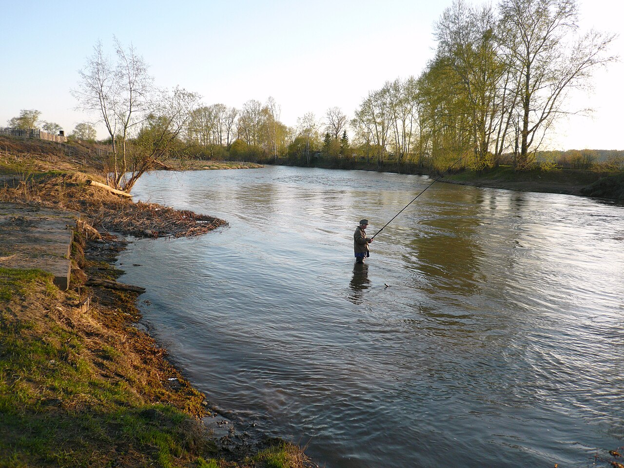
The Shakva (Russian: Шаква) is a river in Perm Krai, Russia, a right tributary of the Sylva. The river is 167 kilometres (104 mi) long, and its drainage basin covers 1,580 square kilometres (610 mi2).[1][2] Its origin is 2 kilometres (1 mi) north of the village of Soya. It flows through the Beryozovsky and Kungursky districts of the krai and into the Sylva near the town of Kungur. The average depth is 1.0 to 1.5 metres (3.3 to 4.9 ft), and the maximum depth is 2.7 metres (8.9 ft). The main tributaries are the Kultym and Bartym rivers (left), and the Sova and Saya rivers (right).
Tributaries
| Name | Direction | Length | Coordinates | Ref |
|---|---|---|---|---|
| Kultym (Russian: Култым) | Left | 43 km (27 mi) | 57°43′25″N 57°17′16″E / 57.7236°N 57.2878°E / 57.7236; 57.2878 | [3] |
| Bartym (Russian: Бартым) | Left | 27 km (17 mi) | 57°40′01″N 57°20′24″E / 57.66692°N 57.34002°E / 57.66692; 57.34002 | [4] |
| Sova (Russian: Сова) | Right | 26 km (16 mi) | 57°52′08″N 57°23′10″E / 57.86889°N 57.38614°E / 57.86889; 57.38614 | [5] |
| Saya (Russian: Сая) | Right | 17 km (11 mi) | 57°39′13″N 57°17′43″E / 57.65359°N 57.29537°E / 57.65359; 57.29537 | [6] |
References
- ^ Encyclopedia of Perm Krai (in Russian)
- ^ "Государственный водный реестр: река Шаква (Шаковка)". textual.ru.
- ^ "Государственный водный реестр: река Култым (Большой Култым)". textual.ru.
- ^ "Государственный водный реестр: река Бартым". textual.ru.
- ^ "Государственный водный реестр: река Сова". textual.ru.
- ^ "Государственный водный реестр: река Сая (Сая-Э-я)". textual.ru.

