アリンティカ
| アリンティカ | |
|---|---|
.jpg/1280px-Thermes_de_Polloquere_(sud_du_salar_de_Surire).jpg) ポヨケレ温泉地域から見たアルンティカ(左)とプキンティカ(右)。 | |
| 最高点 | |
| 標高 | 5,597メートル(18,363フィート)[ 1 ] |
| 座標 | 南緯18度44分50秒 西経69度04分00秒 / 南緯18.74722度、西経69.06667度 / -18.74722; -69.06667[1] |
| 地理 | |
 | |
| 位置 | チリ |
| 親範囲 | アンデス |
| 地質学 | |
| 山型 | 成層火山 |
| 最後の噴火 | 未知 |
.jpg)
アルンティカは、チリのアリカ・イ・パリナコータ州、ボリビアとの国境付近に位置する成層火山で、スリレ塩湖の北に位置しています。
地形学と地質学
標高5,597メートル(18,363フィート)[ 2 ] : 226 アルンティカ山は、スリレ塩湖の北に位置する。東には、標高5,780メートル(18,960フィート)のプキンティカ山という別の火山がある。 [ 3 ]この山は、北側に主峰、それよりわずかに低い南側に峰、西側に副峰がある。山頂と山頂の間には氷河谷がある。[ 4 ] : 325主峰の カラハラタ 山と、2つ目の副峰は、北東から南西に伸びる尾根を形成している。[ 3 ]雪線の高さは5,590メートル(18,340フィート)である。[ 5 ]アリンティカで発見されたステージ IIモレーンの高度は、南側斜面で 4,350 メートル (14,270 フィート)、東側斜面で 4,550 メートル (14,930 フィート) に及びます。西側斜面では、高度 4,400 メートル (14,400 フィート) に達します。[ 6 ]合計で 5 つの氷河がアリンティカを取り囲み、スリレ塩湖に流れ込んでいました。[ 7 ] 1977 年にはまだ氷河がありました。[ 8 ] 1996 年の地図によると、アリンティカと南西にあるその副峰であるセロ カラハラタは、どちらも永久雪氷に覆われていました。[ 3 ]現在、山では岩石氷河が活動しています。 [ 9 ]アルンティカとプキンティカは、スリレ塩湖とラウカ川流域の分水嶺を形成しており、南側はスリレ塩湖に流れ込み[ 2 ] : 217 、北側はリオ・パキサ川を通ってラウカ川に流れ込む[ 2 ] : 125
噴火の歴史
Potassium-argon dating has yielded an age of 637000±19000 years on rocks from Arintica.[10] The volcano was constructed in two phases and postglacial lava flows have been found by Landsat imagery, but they are unsampled.[11] A previously identified southeastern lava flow has been later identified as a debris avalanche,[12] and other lava flows in the crater are actually rock glaciers.[10] A daciticlava dome is found southwest of the volcano and is named Calajata.[12] In a 2011 hazard map Arintica was considered a potentially dangerous volcano of Chile.[13] Whether the volcano was active in the Holocene is contentious[12] and there is no indication of historical eruptions. Renewed activity would probably be of small magnitude and only have local impacts.[10]
Vegetation
A belt of Polylepis woods surrounds the volcano.[4]: 322 The volcano and its neighbour Pukintika are within the Salar de Surire Natural Monument, a national park that surrounds the Salar de Surire. The natural monument features the breeding sites of several flamingo species and internationally important wetlands, which are listed in the Ramsar Convention.[14]
Human use
The Salar de Surire Natural Monument is a tourist destination.[14] In the past, numerous concessions for sulfur mining were active at Arintica and its neighbour Poquentica.[15]
References
- ^ abShanaka L. De Silva; Peter William Francis (1 January 1991). Volcanoes of the Central Andes. Springer-Verlag. p. 21. ISBN 978-3-540-53706-9.
- ^ abcdMATRAZ CONSULTORES ASOCIADOS S.A. (August 2015). "DIAGNÓSTICO DE DISPONIBILIDAD HÍDRICA EN LA CUENCA DEL RÍO LAUCA, REGIÓN DE ARICA Y PARINACOTA"(PDF). Dirección General de Aguas (in Spanish). Retrieved 13 November 2023.
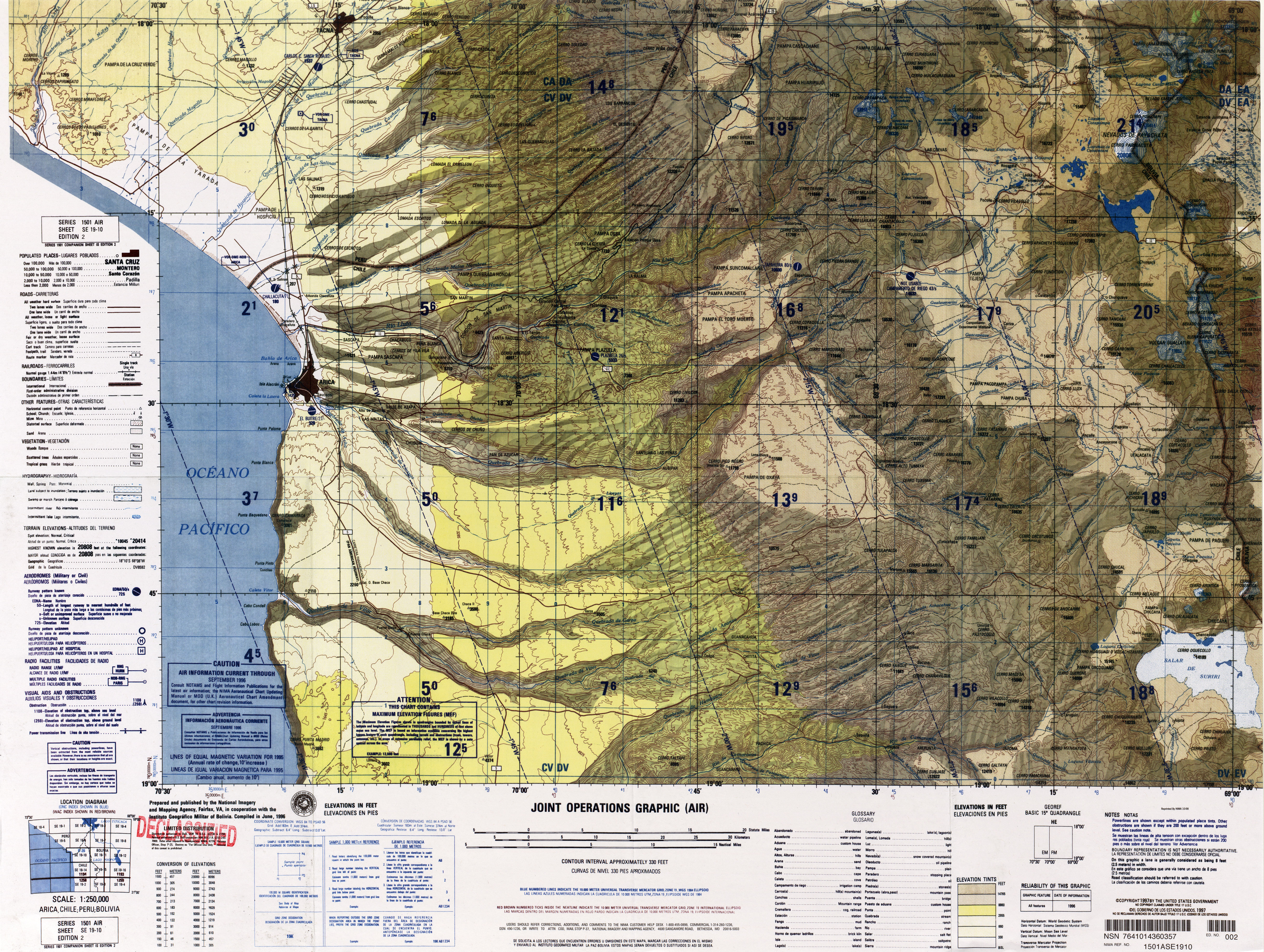
- ^ a b c国防地図局(1996). 「アリカ、チリ、ペルー、ボリビア」 (地図).ラテンアメリカ統合作戦図(第2版). 1:250000.
- ^ a bカール・トロール (1985)。1926/1927 年ボリビアのターゲビュッハー デア ライゼン(ドイツ語)。 F.シュタイナー・フェルラーク・ヴィースバーデン。ISBN 9783515045674。
- ^ラム・バリ・シン (1992).山岳地質システムのダイナミクス. APH Publishing. p. 164. ISBN 978-81-7024-472-1。
- ^ Ammann, Caspar; Jenny, Bettina; Kammer, Klaus; Messerli, Bruno (2001年8月). 「チリの乾燥アンデス(南緯18~29度)における湿度変化に対する後期第四紀氷河の反応」.古地理学・古気候学・古生態学. 172 ( 3~ 4): 317. Bibcode : 2001PPP...172..313A . doi : 10.1016/S0031-0182(01)00306-6 .
- ^ジェニー、ベッティーナ;クラウス・カンマー (1996)。デン・トロッケネン・アンデンの気候変動(ドイツ語)。ベルン大学地理研究所。 p. 46.ISBN 3906151034。
- ^ “Historia del Andinismo Germano: Andinistas Alemanes en la Puna Chilena” (PDF) .アンディナ(スペイン語)。クラブ・アレマン・アンディーノ: 31. 1977 。2023 年11 月 13 日に取得。
- ^バルカザ、ゴンサロ;ヌスバウマー、サミュエル U.タピア、ギレルモ。バルデス、ハビエル。ガルシア、フアン=ルイス。ビデラ、ヨハン。アルボルノス、アマポーラ;ヴィクトル、アリアス(2017)。「南アメリカ、チリのアンデス山脈における氷河の目録と最近の氷河の変動」。氷河学の年代記。58 (75pt2): 177。Bibcode : 2017AnGla..58..166B。土井:10.1017/aog.2017.28。ISSN 0260-3055。
- ^ a b cアミーゴ、アルバロ R.;バーティン、ダニエル U.オロスコ、ガブリエル L. (2012)。チリ北極火山火山(PDF) (レポート)。 Carta geológica de Chile: Serie Geología Ambiental (スペイン語)。 Vol. 17.国立地質鉱物資源局。 p. 11. ISSN 0717-7305。2021 年 6 月 29 日のオリジナル(PDF)からアーカイブ。2021 年8 月 20 日に取得。
- ^クラウス=ヨアヒム・ロイター、エッケハルト・ショイバー、ピーター・ウィガー(2012年12月6日).南部中央アンデスのテクトニクス:活発な大陸縁辺の構造と進化. シュプリンガー・サイエンス&ビジネス・メディア. p. 82. ISBN 978-3-642-77353-2。
- ^ a b c「アルンティカ」 .地球火山活動プログラム.スミソニアン協会.
- ^ 「チリのペリグロス・ボルシニコス」(PDF) .セルナゲオミン.cl。セルナゲオミン。2016 年 10 月 22 日のオリジナル(PDF)からアーカイブ。2016 年6 月 5 日に取得。
- ^ a b「スリレ国立記念碑」 . Sistema Nacional de Áreas Silvestres del Estado (スペイン語)。農業大臣。2023 年11 月 13 日に取得。
- ^ゴンサレス・ミランダ、セルヒオ (2009 年 6 月)。「LA PRESENCIA BOLIVIANA EN LA SOCIEDAD DEL SALITRE Y LA NUEVA DEFINICIÓN DE LA FRONTERA: AUGE Y CAÍDA DE UNA DINÁMICA TRANSFRONTERIZA (TARAPACÁ 1880-1930)」。チュンガラ (アリカ)。41 (1): 71–81 .土井: 10.4067/S0717-73562009000100005。hdl : 10533/139975。ISSN 0717-7356。
