Drake, Colorado | |
|---|---|
| Coordinates: 40°25′55″N 105°20′25″W / 40.4319°N 105.3403°W / 40.4319; -105.3403 (Drake, Colorado)[2] | |
| Country | United States |
| State | Colorado |
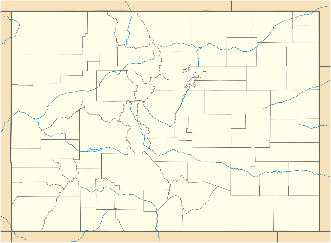
| County | Larimer[1] |
| Government | |
| • Type | unincorporated community |
| • Body | Larimer County[1] |
| Elevation [2] | 6,162 ft (1,878 m) |
| Time zone | UTC−07:00 (MST) |
| • Summer (DST) | UTC−06:00 (MDT) |
| ZIP code[3] | 80515 |
| Area codes | 970/748 |
| GNIS place ID | 177661 |


Drake is an unincorporated community and post office located in and governed Larimer County, Colorado, United States. The community is located along U.S. Highway 34 in Big Thompson Canyon between Estes Park and Loveland near Rocky Mountain National Park. The 2010 ZIP Code population of Drake was 1,010.[4]
History
The Drake, Colorado, post office opened on December 14, 1905.[5]
Geography
Drake is located in Larimer County at coordinates 40°25′55″N 105°20′25″W / 40.4319°N 105.3403°W / 40.4319; -105.3403 (Drake, Colorado) and elevation 6,162 feet (1,878 m).[2]
See also


- Fort Collins-Loveland, CO Metropolitan Statistical Area
- Front Range Urban Corridor
- List of populated places in Colorado
- List of post offices in Colorado
References
- ^ a b "Colorado Counties". Colorado Department of Local Affairs. Retrieved October 17, 2025.
- ^ a b c "Drake, Colorado". Geographic Names Information System. United States Geological Survey, United States Department of the Interior. Retrieved October 17, 2025.
- ^ "ZIP Code Lookup". United States Postal Service. Retrieved October 17, 2025.
- ^ "ZIP Code 80515, Drake CO (Colorado)".
- ^ Bauer, William H.; Ozment, James L.; Willard, John H. (1990). Colorado Post Offices 1859–1989. Golden, Colorado: Colorado Railroad Historical Foundation. ISBN 0-918654-42-4.
External links
- State of Colorado
- History Colorado
