| E50 | |
|---|---|
 | |
| Route information | |
| Length | 5,100 km[citation needed] (3,200 mi) |
| Major junctions | |
| West end |  E60 in Brest, France E60 in Brest, France |
| Major intersections | |
| East end |  E119 in Makhachkala, Russia E119 in Makhachkala, Russia |
| Location | |
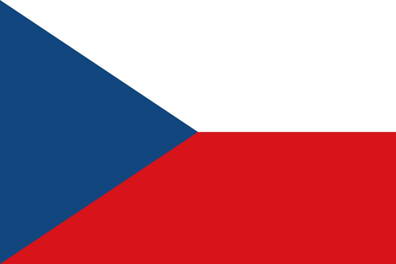
| Countries | France, Germany, Czech Republic, Slovakia, Ukraine, Russia |
| Highway system | |


European route E50 is an A-type east–west connection across the European continent. It connects the key naval port of Brest in France with Makhachkala, on the Caspian Sea in Dagestan, Russia.
History
 | This section has multiple issues. Please help improve it or discuss these issues on the talk page. (Learn how and when to remove these messages)
|
![[icon]](http://upload.wikimedia.org/wikipedia/commons/thumb/1/1c/Wiki_letter_w_cropped.svg/1280px-Wiki_letter_w_cropped.svg.png)

Since 2014, parts of the road in eastern Ukraine have been under the control of the separatist Donetsk People's Republic and Lugansk People's Republic. Since April 2021, M12 and M04 Stryi – Kropyvnytskyi – Debaltseve were combined into M30.[1][2] During the Russian invasion of Ukraine, Russia took direct control of the areas in Donbas.
Outlook

Half the route comprises highways and the other half provincial roads. The route runs fully across the European continent. It is one of the longest E-roads on the continent.
Route
 France
- D 112: Brest ( E60) - Gouesnou
- N 12: Gouesnou - Saint-Brieuc - Tramain ( E401) - Rennes
- N 136: Rennes ( E3)
- N 157: Rennes ( E3) - La Gravelle
- A 81: La Gravelle - Laval - Le Mans ( E501)
- A 11: Le Mans ( E501 E502) - Ablis
- A 10: Ablis ( E5) - Massy ( E5 E15)
- A 6b: Massy ( E5 E15) - Paris ( E15)
- Boulevard Périphérique: Paris ( E15 E54)
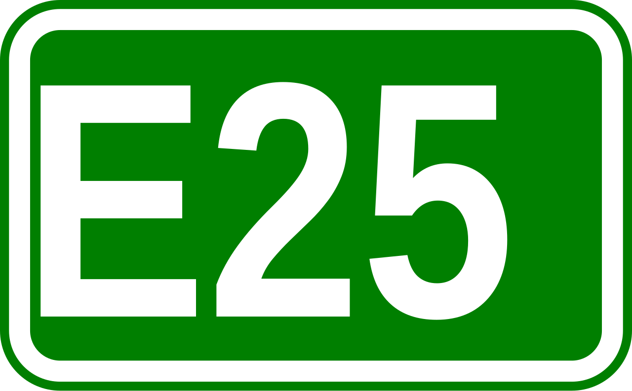
- A 4: Paris ( E15) - Reims ( E17 E46 E420) - Châlons-en-Champagne ( E17) - Metz ( E21 E23 E25) - Freyming-Merlebach ( E25)
- A 320: Freyming-Merlebach ( E25) - Forbach
- Germany
- Czech Republic
- Slovakia
- Ukraine
- M 08: Uzhhorod border - Uzhhorod ( E573)
- M 06: Uzhhorod ( E573) - Mukachevo ( E81 E471, End of Concurrency with E58) - Stryi ( E471)
- M 12: Stryi ( E471) - Ternopil ( E85) - Khmelnytskyi - Vinnytsia ( E583) - Uman ( E95) - Kropyvnytskyi ( E584)
- M 04: Kropyvnytskyi ( E584) - Oleksandriia ( E584) - Dnipro ( E105) - Donetsk - Debaltseve ( E40)
- M 03: Debaltseve ( E40) - Dovzhansky
- Russia
- A 270: border with Ukraine - Novoshakhtinsk (Start of concurrency with E115)
- M 4: Novoshakhtinsk - Rostov-on-Don ( E58) - Pavlovskaya (End of concurrency with E115)
- R 217: Pavlovskaya ( E115) - Armavir - Mineralnye Vody ( E117) - Beslan ( E117) - Makhachkala ( E119)
- Major towns along the R217 highway (Russia) include Kropotkin, Nevinnomyssk, Mineralnye Vody, Pyatigorsk, Nalchik, Beslan, Grozny, Gudermes, Khasavyurt, Makhachkala, and Derbent on the Caspian Sea. After skirting the Greater Caucasus, the route continues to Baku.


References
- ^ Про внесення змін в додаток до постанови Кабінету Міністрів України від 30 січня 2019 р. № 55
- ^ Про затвердження переліку автомобільних доріг загального користування державного значення
External links
- UN Economic Commission for Europe: Overall Map of E-road Network (2007)
![]() Geographic data related to European route E50 at OpenStreetMap
Geographic data related to European route E50 at OpenStreetMap