Firozkoh
فیروزکوه Chaghcharan | |
|---|---|
 The old bridge on Hari River in 2006 | |
| Nickname: Ahangaran | |
| Coordinates: 34°31′21″N 65°15′6″E / 34.52250°N 65.25167°E / 34.52250; 65.25167 | |
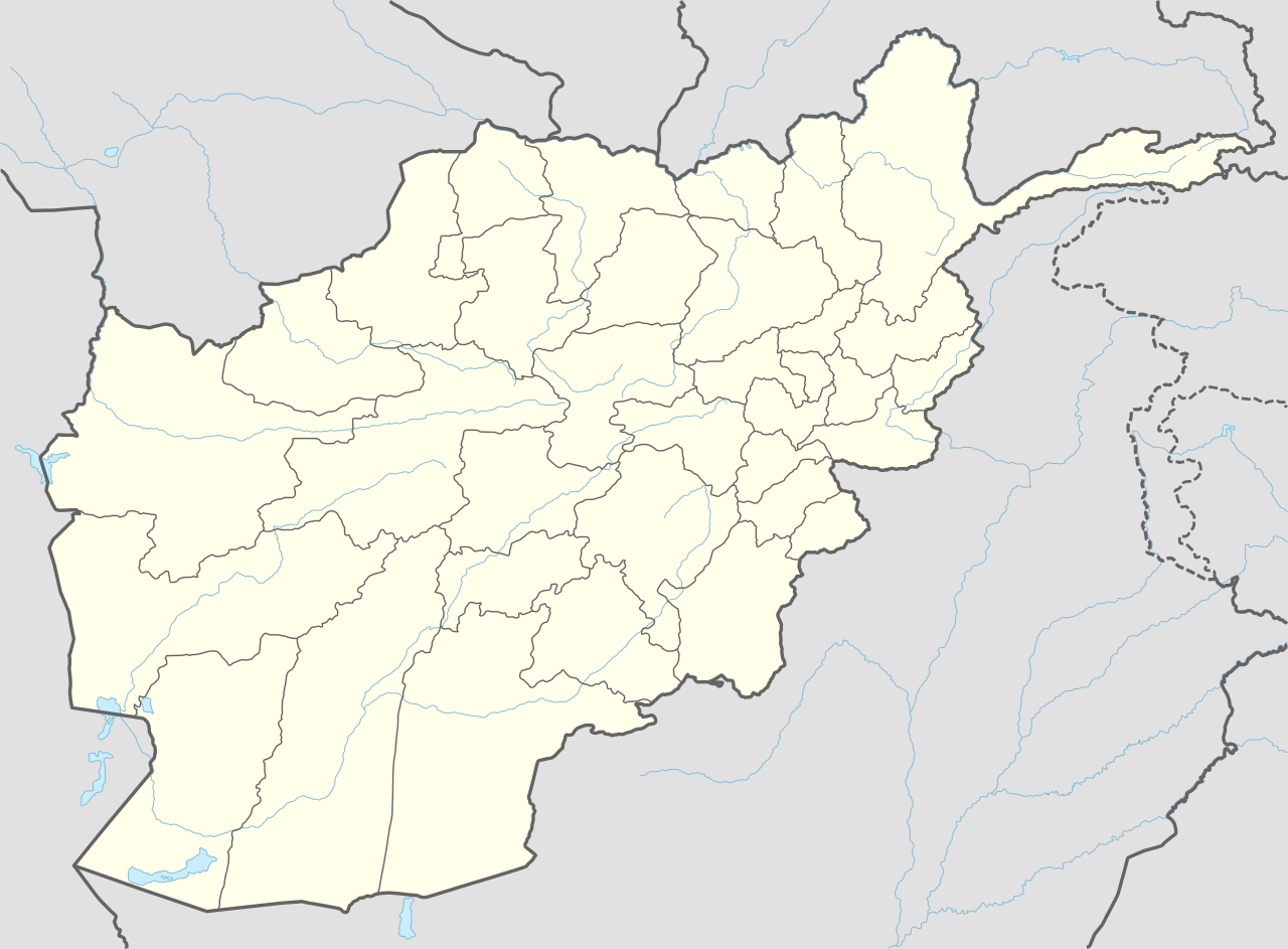
| Country |  Afghanistan Afghanistan |
| Province | Ghor |
| District | Chaghcharan |
| Established | 540-544 AD |
| Founder | Ghiyath al-Din Muhammad |
| Government | |
| • Type | Municipality |
| Area | |
| • Land | 26 km2 (10 sq mi) |
| Elevation | 2,230 m (7,320 ft) |
| Population (2025)[1] | |
| 129,521 | |
| • Urban | 9,128 |
| • Ethnicities | Aimaqs Uzbeks |
| Time zone | UTC+04:30 (Afghanistan Time) |

Firozkoh (Pashto[a], Dari[b]: فیروزکوه), formerly called Chaghcharan[c][2][3] (Pashto[d], Dari[e]: چغچران), and historically known as Ahangaran (Pashto[f], Dari[g]: آهنگران), is a city in central Afghanistan, serving as the capital of Ghor Province.[4] It is within the jurisdiction of Chaghcharan District and has an estimated population of 129,521 people.[1]
Firozkoh is home to Ghor University, which is located about 6 km (3.7 mi) to the east from the city's center. The Chaghcharan Airport is located in the middle of the city.
Geography
Firozkoh is located on the southern side of the Hari River, at an altitude of 2,230 m (7,320 ft) above sea level. The city is linked by a 380 km (240 mi) long highway with Herat to the west (following the south side of Paropamisus Mountains (Selseleh-ye Safīd Kūh)), and a 450 km (280 mi) long highway with Kabul to the east.
Firozkoh has a total land area of 26 km2 (10 sq mi) or 2,614 ha (6,460 acres).[5] In 2015 there were 3,474 dwellings in the city.[5]
Land use
Firozkoh is located at the central region of Afghanistan connected by a highway 380 km (240 mi) west to Herat and about the same east to Kabul.[5] It is an ancient city that dates back to Genghis Khan and Mongols. The city has always been famous for agriculture.
Climate
Chaghcharan has a warm-summer humid continental climate (Köppen Dsb), with snowy winters and warm, dry summers. Precipitation is low, and mostly falls in winter and spring.
| Climate data for Chaghcharān | |||||||||||||
|---|---|---|---|---|---|---|---|---|---|---|---|---|---|
| Month | Jan | Feb | Mar | Apr | May | Jun | Jul | Aug | Sep | Oct | Nov | Dec | Year |
| Record high °C (°F) | 12.0 (53.6) |
11.5 (52.7) |
20.6 (69.1) |
26.8 (80.2) |
32.3 (90.1) |
34.6 (94.3) |
37.4 (99.3) |
35.0 (95.0) |
33.0 (91.4) |
27.5 (81.5) |
21.0 (69.8) |
16.7 (62.1) |
37.4 (99.3) |
| Mean daily maximum °C (°F) | −1.3 (29.7) |
0.0 (32.0) |
8.8 (47.8) |
17.4 (63.3) |
21.8 (71.2) |
27.3 (81.1) |
29.8 (85.6) |
28.8 (83.8) |
24.7 (76.5) |
17.9 (64.2) |
11.4 (52.5) |
3.2 (37.8) |
15.8 (60.5) |
| Daily mean °C (°F) | −9.4 (15.1) |
−7.3 (18.9) |
1.6 (34.9) |
9.3 (48.7) |
12.8 (55.0) |
17.2 (63.0) |
19.3 (66.7) |
17.8 (64.0) |
12.4 (54.3) |
6.9 (44.4) |
1.5 (34.7) |
−4.4 (24.1) |
6.5 (43.7) |
| Mean daily minimum °C (°F) | −16.3 (2.7) |
−15.3 (4.5) |
−3.9 (25.0) |
2.1 (35.8) |
3.5 (38.3) |
4.9 (40.8) |
7.1 (44.8) |
5.3 (41.5) |
−0.2 (31.6) |
−2.8 (27.0) |
−6.8 (19.8) |
−11.1 (12.0) |
−2.8 (27.0) |
| Record low °C (°F) | −44 (−47) |
−46.0 (−50.8) |
−26 (−15) |
−10.8 (12.6) |
−6.0 (21.2) |
−2.7 (27.1) |
0.5 (32.9) |
−2.0 (28.4) |
−8.0 (17.6) |
−14.6 (5.7) |
−19.5 (−3.1) |
−35 (−31) |
−46.0 (−50.8) |
| Average precipitation mm (inches) | 30.9 (1.22) |
32.2 (1.27) |
40.0 (1.57) |
35.3 (1.39) |
20.1 (0.79) |
0.4 (0.02) |
0.1 (0.00) |
0.5 (0.02) |
0.0 (0.0) |
11.0 (0.43) |
15.8 (0.62) |
18.1 (0.71) |
204.4 (8.04) |
| Average rainy days | 0 | 1 | 6 | 8 | 5 | 0 | 0 | 0 | 0 | 3 | 3 | 1 | 27 |
| Average snowy days | 8 | 9 | 5 | 1 | 0 | 0 | 0 | 0 | 0 | 0 | 2 | 7 | 32 |
| Average relative humidity (%) | 70 | 71 | 66 | 56 | 49 | 39 | 34 | 32 | 36 | 44 | 54 | 64 | 51 |
| Mean monthly sunshine hours | 146.4 | 150.2 | 198.6 | 223.9 | 320.6 | 383.9 | 389.4 | 358.0 | 344.7 | 267.7 | 217.9 | 154.7 | 3,156 |
| Source: NOAA (1968-1983) [6] | |||||||||||||
History
Medieval

Prior to the arrival of Islam the region's inhabitants practiced various different religions including Zoroastrianism, Buddhism, Hinduism. The Islamic conquest of Afghanistan by Sultan Mahmud of Ghazni took place in the 10th century. After the defeat of the Ghaznavids in the 12th century the area came under the control of the local Ghurid dynasty of Ghor. The Ghurid Dynasty had its summer capital, Firozkoh nearby and they constructed the Minaret of Jam there. Today the Minaret of Jam is a UNESCO World Heritage Site. It is located about 150 km (93 mi) to the west of Firozkoh.
In the 13th century, the Ghor region was invaded by the Mongol army who destroyed Firozkoh but left the Minaret of Jam intact. It was then ruled by the Ilkhanate until Timur conquered it in the 14th century.
It is mentioned by the name Chakhcherān in the 16th century Baburnama, describing Babur's visit in early 1507 while on his journey to Kabul. It was a town located in the Gharjistan region, between Herat, Ghor, and Ghazni.[7]
Modern era
.jpg)
.jpg/1280px-Hospital_Visit_(4272634442).jpg)
In 2004, an independent FM radio station (Persian: راديو صداي صلح or Voice of Peace Radio) came on air in the town, the first independent media in this part of Afghanistan.[citation needed]
In June 2005, the International Security Assistance Force (ISAF) established a Lithuanian led Provincial Reconstruction Team in which Croatian, Danish, American, Ukrainian, Icelandic, and Georgian troops also served.[citation needed]
On 14 May 2020, the Taliban attacked a checkpoint in the city, killing three Afghan soldiers and taking 11 others captive.[8]
In August 2021 the city was retaken by Taliban fighters, becoming the sixteenth provincial capital to be seized as part of the wider 2021 Taliban offensive.[9]
Demography
The Firozkoh municipality has an estimated population of 129,521 people.[1] In 2019 the estimate given was 150,982 people. Of these, 7,918 resided in the urban area and the remaining in the surrounding countryside.[10] And in 2015 the estimate was 132,000 people.[11] Majority of them are Aimaqs and Uzbek although Hazaras, Pashtuns and other groups also exist.[12]
Transportation

As of August 2015, Chaghcharan Airport, located northwest of the Hari River, one mile northeast of the city, had regularly scheduled flights to Kabul and Herat. However, as of January 2016 commercial operators no longer offer scheduled flights, leaving the United Nations Humanitarian Air Service (UNHAS) as the only user of Chaghcharan Airport with flights to Kabul and Herat.
The main road from Firozkoh runs toward Herat in the west and Kabul in the east. Due to severe weather, the road is often closed during winter and even in summer it can take days to drive from Firozkoh to Kabul.[citation needed]
Economy
Agriculture is the primary economic activity in the area.[13]
Sports
The people of Firozkoh enjoy many types of sports, including football, futsal, volleyball, basketball, cycling, weightlifting, mountaineering, and wushu.[14][15][16]
See also
Notes
- ^ Pashto pronunciation: [pi.roz.ko]
- ^ Dari pronunciation: [fiː.ɾoːz.kʰoː]
- ^ The capital of Ghor was called "Chaghcharan" until 2014, when the Afghan national government re-named the city into "Firozkoh" to reflect its historical roots, as it was the capital of the Ghurid Empire in the 12th century
- ^ Pashto pronunciation: [t͡ʃaɣ.t͡ʃa.rɑn]
- ^ Dari pronunciation: [t͡ʃʰäq.t͡ʃʰǽ.ɾɑ́ːn]
- ^ Pashto pronunciation: [ʔɑŋˌɡa.rɑn]
- ^ Dari pronunciation: [ʔɑːäŋ.ɡǽ.ɾɑ́ːn]
References
- ^ a b c "Estimated Population of Afghanistan 2025-26" (PDF). National Statistics and Information Authority. September 2025. p. 82. Retrieved 2025-12-29.
- ^ Baher, Pohanyar Mawladad (2023-01-06). "A Historical Glance at the Origin of the People of Kohikhana District in Faryab Province". Integrated Journal for Research in Arts and Humanities. 3 (1): 12–17. doi:10.55544/ijrah.3.1.3. ISSN 2583-1712.
- ^ "Chaghcharan – Re:Discover Pakistan". 2023-10-05. Retrieved 2025-07-17.
- ^ "AWCC opens new customer services center in Ghor province". Ariana News. September 15, 2023. Retrieved 2025-12-29.
- ^ a b c "State of Afghan Cities report 2015 (Volume-I English)". UN-Habitat. p. 8. Retrieved 2015-10-22.
- ^ "Chakhcharan Climate Normals 1968-1983". National Oceanic and Atmospheric Administration (FTP). Retrieved December 26, 2012. (To view documents see Help:FTP)
- ^ Zahir ud-Din Mohammad Babur (1507). "Events Of The Year 912". Memoirs of Babur. Packard Humanities Institute. Archived from the original on 2014-03-05. Retrieved 2011-08-18.
- ^ "11 Afghan Soldiers Killed In Attacks On Security Checkpoints". Radio Free Europe/Radio Liberty. May 16, 2020. Archived from the original on August 17, 2021. Retrieved May 28, 2020.
- ^ Akhgar, Tameem; Faiez, Rahim; Krauss, Joseph (2021-08-13). "Taliban sweep across Afghanistan's south; take 4 more cities". AP News. Archived from the original on 2021-08-13. Retrieved 2021-08-13.
- ^ "NSIA" (PDF). p. 29. Archived from the original (PDF) on 2020-06-09.
- ^ "State of Afghan Cities report 2015 (Volume-I English)". UN-Habitat. p. 12. Retrieved 2015-10-31.
- ^ "Archived copy" (PDF). www.aims.org.af. Archived from the original (PDF) on 27 October 2005. Retrieved 13 January 2022.
{{cite web}}: CS1 maint: archived copy as title (link) - ^ Ghor Province by Naval Postgraduate School, http://www.nps.edu/Programs/CCS/Ghor/Ghor.html Archived 2013-10-29 at the Wayback Machine
- ^ "Ramadan volleyball tournament kicks off in Ghor". Pajhwok Afghan News. 8 March 2025. Retrieved 2025-12-29.
- ^ "Wushu competitions held in Ghor". Pajhwok Afghan News. 9 August 2025. Retrieved 2025-12-29.
- ^ "8-team winter volleyball contest kicks off in Ghor". Pajhwok Afghan News. 19 December 2024. Retrieved 2025-12-29.
External links
- د لرغونی غور ولایت ښکلاوې / Ghor Province Beauties on YouTube
- Dupree, Nancy Hatch (1977): An Historical Guide to Afghanistan. 1st Edition: 1970. 2nd Edition. Revised and Enlarged. Afghan Tourist Organization. (Chapter 32 - Chakhcharan to Herat)
