イジュリル・アル・シャマリーヤ

イジュリル・アル・シャマリーヤ | |
|---|---|
| 語源:エル・ジェリル、「輝かしい/偉大な」(アラビア語)または「地区/巡回区」(ヘブライ語)を意味する[ 1 ] | |
イジュリル・アル・シャマリーヤ周辺地域の歴史地図シリーズ(ボタンをクリックしてください) | |
  イジュリル・アル・シャマリーヤ 委任統治領パレスチナ内の位置 | |
| 座標:北緯32°09′36″ 東経34°48′42″ / 北緯32.16000度、東経34.81167度 / 32.16000; 34.81167 | |
| パレスチナグリッド | 132/174 |
| 地政学的実体 | 委任統治領パレスチナ |
| 地区 | ヤッファ |
| 人口減少の日付 | 1948年3月末~4月3日[ 4 ] |
| エリア | |
• 合計 | 2,450ドゥナム(2.45 km 2 ; 0.95平方マイル) |
| 人口 (1945年) | |
• 合計 | 190 [ 2 ] [ 3 ] |
| 人口減少の原因 | 戦闘に巻き込まれることへの恐怖 |
| 現在の地域 | グリルヤム[ 5 ] |
.jpg/1280px-Historical_map_series_for_the_area_of_Ijlil_al-Shamaliyya_(1870s).jpg)
.jpg/1280px-Historical_map_series_for_the_area_of_Ijlil_al-Shamaliyya_(1940s).jpg)
.jpg/1280px-Historical_map_series_for_the_area_of_Ijlil_al-Shamaliyya_(modern).jpg)
.jpg/1280px-Historical_map_series_for_the_area_of_Ijlil_al-Shamaliyya_(1940s_with_modern_overlay).jpg)
.jpg)
.jpg)
.jpg)
.jpg)
イジリル・アル・シャマリヤ(アラビア語: إجليل الشمالية Ijlīl aš-Šamāliyya ) は、ヤッファ地区にあったパレスチナ系アラブ人の村でした。 19 世紀に設立され、カルキリヤ地域のバニサブ族民とエジプトからの移民によって設立されました。[ 6 ] 1948年4月3日の委任統治領パレスチナでは、1947年から1948年の南北戦争中に人口が減少した。
位置
イジリル・アル・シャマリヤ (「北のイジリル」の意味) は、ヤッファの北東 15 km (9 マイル) 、姉妹村であるイジリル・アル・キブリヤ(「南ジリル」)の北約 100 メートルの丘の上 にありました。[ 5 ]
歴史
イジュリルは、18世紀にヤルコン川の北岸近くに設立された4つの村の一つです(アル・シャイフ・ムワニス、アル・ハラーム、ウム・ハリドの各村と共に)。歴史家ロイ・マロムによると、イジュリルの設立は「南シャロンにおける居住地の拡大が、これまで主張されていたエジプトの『侵入者』によるものではなく、サマリア山岳高地の住民による中核居住地の内陸拡大の結果であったことを示している」とのことです。[ 7 ]
In June 1870, the French explorer Victor Guérin visited both villages. He described them as one unit called Edjlil, situated on a hill and divided into two districts. Together, they had 380 inhabitants. The houses were built of rammed earth or with different small aggregates mixed in with kneaded and dried silt.[8] In 1870/1871 (1288 AH), an Ottoman census listed Ijlil in the nahiya (sub-district) of Bani Sa'b.[9]
In 1882, the PEF's Survey of Western Palestine described the two villages, named El Jelil, as "a mud village, with a well to the south and a second to the north. [..] A small olive-grove exists to the south-east."[10]
British Mandate era
In the 1922 census of Palestine conducted by the British Mandate authorities, the twin villages of Ijlil (spelled Jelil) had a population of 154, all Muslims,[11] increasing by the 1931 census to 305, still all Muslim.[12] In 1943 Glil Yam was founded on what was traditionally village land, to the east of the village site.[5]


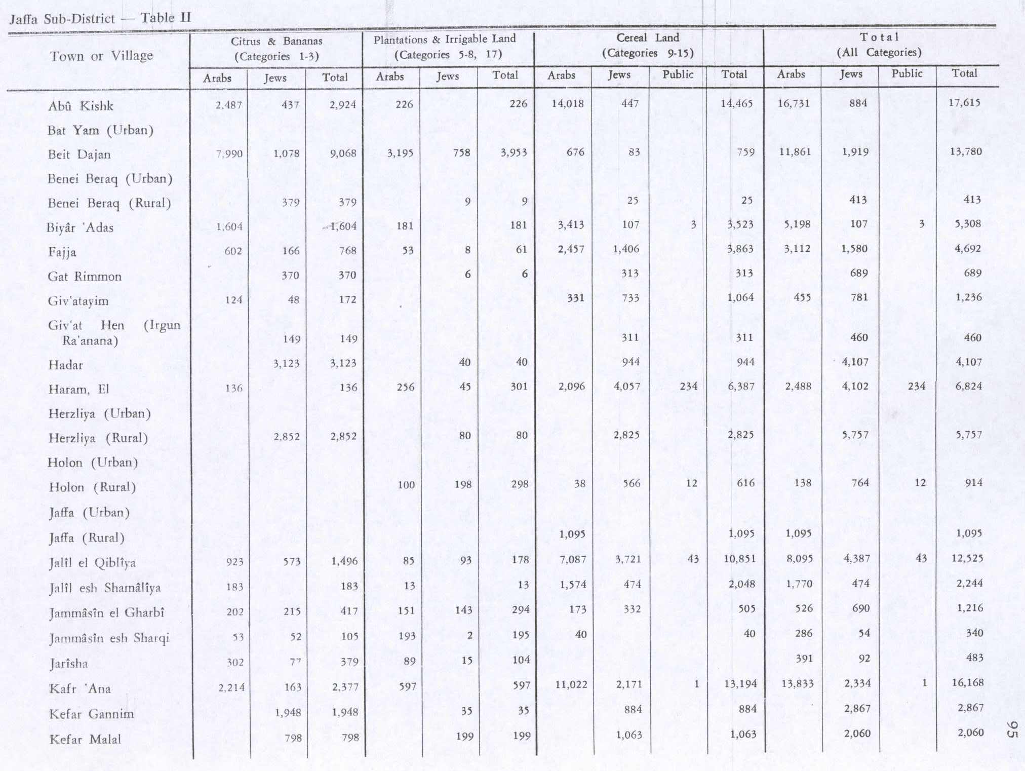
In the 1945 statistics the population of Ijlil al-Shamaliyya consisted of 190 Muslims[2] and the land area was 2,450 dunams of land, according to an official land and population survey.[3] Of this land, 183 dunams were designated for citrus and bananas, 13 for plantations and irrigable land, 1,574 for cereals,[13] while seven dunams were built-up areas.[14] Also in 1945, a school was founded in the village and shared with Ijlil al-Qibliyya. It had 64 students in its first year. The village also had a mosque and several small shops.[5]
1948 war, and aftermath
In December 1947 and January 1948 the leaders of al-Shaykh Muwannis, al-Mas'udiyya, al-Jammasin al-Sharqi, al-Jammasin al-Gharbi, and the mukhtars of 'Arab Abu Kishk and the two Ijlil-villages met with Haganah representatives in Petah Tikva. These villages wanted peace, and promised not to harbor any Arab Liberation Army soldiers or local Arab militia. They further promised that, in the case they were not able to keep them out alone, they were to call on Haganah for help.[15]
By mid-March 1948, the Alexandroni Brigade had imposed isolation, dubbed "quarantine", of al-Shaykh Muwannis, 'Arab Abu Kishk and the two Ijlil-villages. However, on 12 March, the LHI kidnapped five village notables from al-Shaykh Muwannis.[16] This undermined the villagers' trust in former agreements, and many left. The people of the two Ijlil-villages also left, after asking Jewish neighbours to look after their property.[17]
In 1992, the historian Walid Khalidi found that the place was difficult to identify with precision as it was part of a large garbage dump.[5]
References
- ^Palmer, 1881, p. 214
- ^ abDepartment of Statistics, 1945, p. 27
- ^ abcGovernment of Palestine, Department of Statistics. Village Statistics, April, 1945. Quoted in Hadawi, 1970, p. 52
- ^Morris, 2004, p. xviii, village No. 196. Also gives cause of depopulation
- ^ abcdeKhalidi, 1992, p. 243
- ^Grossman, D. (1986). "Oscillations in the Rural Settlement of Samaria and Judaea in the Ottoman Period". in Shomron studies. Dar, S., Safrai, S., (eds). Tel Aviv: Hakibbutz Hameuchad Publishing House. p. 372
- ^Roy Marom, "Al-Sheikh Muwannis: Transformations in the Arab Countryside between the Mountainous Interior and the City of Jaffa, 1750–1848," Cathedra 183 (February 2023), pp. 9–34.
- ^Guérin, 1875, p. 374
- ^Grossman, David (2004). Arab Demography and Early Jewish Settlement in Palestine. Jerusalem: Magnes Press. p. 255.
- ^Conder and Kitchener, 1882, SWP II, p. 251
- ^バロン、1923年、表VII、ヤッファ地区、 20ページ
- ^ミルズ、1932年、 13ページ
- ^パレスチナ政府統計局『村落統計』1945年4月。ハダウィ(1970年) 95頁より引用。
- ^パレスチナ政府統計局「村落統計」1945年4月。ハダウィ(1970年) 145ページに引用。
- ^モリス、2004年、 91ページ
- ^モリス、2004年、 127ページ
- ^モリス、2004年、 128ページ
参考文献
- バロン・JB編 (1923). 『パレスチナ:1922年国勢調査報告書および概要』パレスチナ政府.
- クレルモン・ガノー、CS (1895)。Études d'archéologie orientale (フランス語)。パリ:E.ブイヨン。(pp. 192 −196: 「ジョルジリアのトロワポン」)
- コンダー, CR ;キッチナー, HH (1882). 『西パレスチナ調査:地形、山地、水路、考古学に関する記録』第2巻. ロンドン:パレスチナ探検基金委員会.
- 統計局(1945年)「村落統計、1945年4月」パレスチナ政府。
- ゲリン、V. (1875)。説明 パレスチナの歴史と考古学。 Vol 2 サマリー、pt. 2.パリ、Imprimé par autorisation de l'empereur à l'Impr.インペリアル。
- ハダウィ、S.(1970)『1945年村落統計:パレスチナにおける土地と地域の所有形態の分類』パレスチナ解放機構研究センター
- ハリディ、W.(1992)『残されたものすべて:1948年にイスラエルに占領され、人口が減ったパレスチナの村々』ワシントンD.C.:パレスチナ研究所、ISBN 0-88728-224-5。
- ミルズ編 (1932). 『パレスチナ1931年国勢調査 村落、町、行政区域の人口』 エルサレム:パレスチナ政府.
- モリス、B.(2004)『パレスチナ難民問題の誕生再考』ケンブリッジ大学出版局、ISBN 978-0-521-00967-6。
- パーマー、EH (1881) 『西パレスチナ調査:コンダー中尉とキッチナー中尉が調査中に収集したアラビア語と英語の人名リスト、EHパーマーによる翻字と解説』パレスチナ探検基金委員会。
外部リンク
- イジリル・アル・シャマリヤへようこそ
- 西パレスチナ測量図、地図13: IAA、 ウィキメディア・コモンズ
- ハリル・サカキニ文化センターのイジリル・アル・シャマリーヤ
- イジュリル・アル・シャマリーヤ、ゾクロット
- Ijlil ツアー、2004年3月20日、Zochrotより
- イブラヒム・アブ・スネイネ『イジュリル』、ゾクロットのツアーとイジュリルの小冊子の準備のために集められた証言、2004年3月30日
- マフムード・アブ・スネイネ、『イジュリル』、ゾクロットのツアーとイジュリルの小冊子の準備のために集められた証言、2004 年 3 月 20 日。
- イジュリルを思い出す、イジュリル冊子、2004年3月
