マタワサガ川
| マタワサガ川 | |
|---|---|
| 位置 | |
| 国 | カナダ |
| 州 | オンタリオ |
| 地区 | コクラン |
| 身体的特徴 | |
| ソース | 森林地帯の小川 |
| • 位置 | カナダ、オンタリオ州コクラン地区 |
| • 標高 | 314メートル(1,030フィート) |
| 口 | アビティビ湖 |
• 位置 | カナダ、オンタリオ州、コクラン地区、ハーカー・タウンシップ |
• 座標 | 000北緯48度36分10秒 西経79度29分40秒 / 北緯48.60278度、西経79.49444度 / 48.60278; -79.49444 |
• 標高 | 272メートル(892フィート) |
| 流域の特徴 | |
| 支流 | |
| • 左 | ホロウェイ湖排水、インペリアル湖排水 |
| • 右 | イェレ湖の放水 |
| [ 1 ] [ 2 ] | |

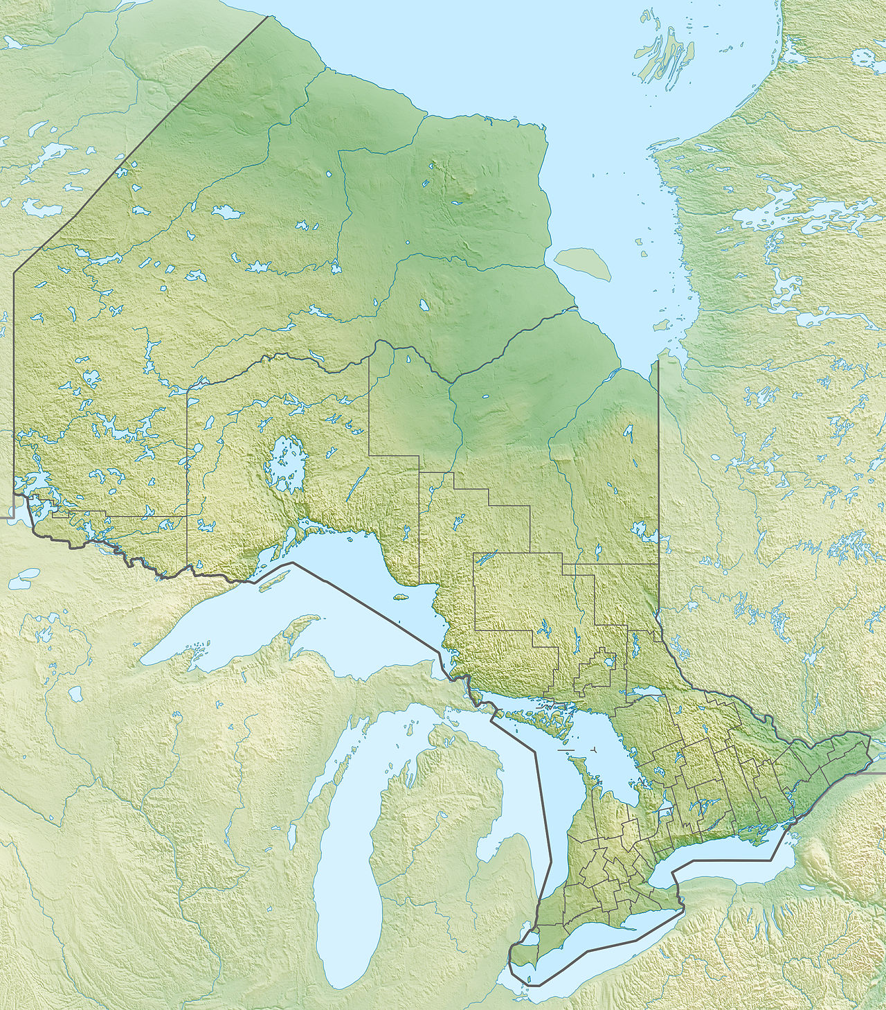
マタワサガ川は、カナダのオンタリオ州コクラン地区のハーカー・タウンシップ、マリオット・タウンシップ、スタウトン・タウンシップを流れるアビティビ湖の支流です。
マタワサガ川は、コクラン地区のケベック州境付近の森林地帯に全量流れ込んでいます。この水文斜面における主要な経済活動は林業であり、レクリエーションや観光活動がそれに次ぐものです。
マタワサガ川には、川の上流部分の北側に沿って走り、その後南側を東に向かうハイウェイ 101 (東西) が通っています。
毎年、川面は11月中旬から4月中旬まで凍結しますが、氷上で安全に通行できるのは一般的に12月中旬から3月下旬です。
地理
マタワサガ川は、オンタリオ州北東部のコクラン地区の渓流(標高314メートル(1,030フィート))に源を発しています。
マタワサガ川に隣接する主な水文勾配は次のとおりです。
マタワサガ川は、源流から 39.9 キロメートル (24.8 マイル) にわたって流れており、その区間は次のとおりです。
- 北へ5.3キロメートル(3.3マイル)進み、西へ進み、再び北へ進むと小川(西から)に至ります。
- ホロウェイ町の境界から北東に2.8キロメートル(1.7マイル)
- ホロウェイ郡区内で東に12.2キロメートル(7.6マイル)進み、川の湾曲部まで続く。
- 東に 8.3 キロメートル (5.2 マイル) 進み、北に進んでマリオット タウンシップに行き、国道 101 号線の北側に沿って、ストートン タウンシップの境界まで曲がりくねって進みます。
- 8.8 kilometres (5.5 mi) northward in Stoughton Township, forming a large loop westward to a stream (coming from the east and draining an area in the direction of Quebec);
- 2.5 kilometres (1.6 mi) northwest up to the mouth.[3]
The mouth of the Mattawasaga River is located at:
- 19.3 kilometres (12.0 mi) west of the mouth of the Duparquet River;
- 2.9 kilometres (1.8 mi) west of the border of Quebec;
- 49.6 kilometres (30.8 mi) southeast of the mouth of Abitibi Lake (in Ontario);
- 55.3 kilometres (34.4 mi) to the north-west of downtown Rouyn-Noranda;
- 60.2 kilometres (37.4 mi) northeast of the center of the Kirkland Lake village.
The Mattawasaga River is discharged on the south shore of Boundary Bay on the south shore of Abitibi Lake. From there, the current crosses Abitibi Lake to the west, bypassing two large peninsulas advancing towards the north.
From the mouth of Abitibi Lake, the current flows through the Abitibi River and Moose River (Ontario) to the south shore of the James Bay.
Toponymy
![[アイコン]](/wiki/File:Wiki_letter_w_cropped.svg) | This section is empty. You can help by adding to it. (October 2017) |
See also
- Abitibi Lake, a body of water
- Abitibi River, a watercourse
- Moose River (Ontario), a watercourse
- Cochrane District, an Ontario district
- List of rivers of Ontario
References
- ^"Natural Resources Canada-Canadian Geographical Names (Mattawasaga River)". Retrieved 2017-10-02.
- ^"Atlas of Canada Toporama". 12 September 2016. Retrieved 2017-10-01.
- ^Segments of the river measured from the Atlas of Canada (published on the Internet) of the Department of Natural Resources of Canada.
External links
