Raymond, Kentucky | |
|---|---|
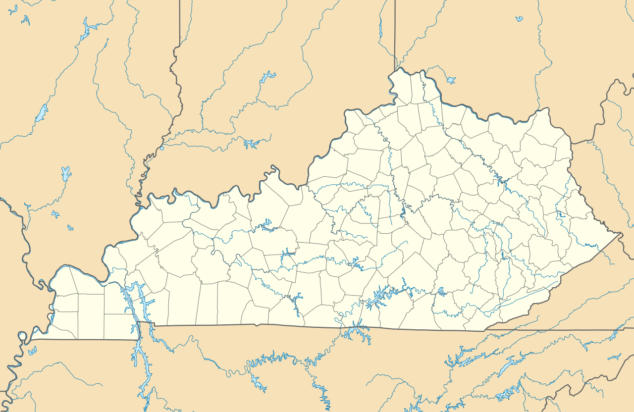
| Coordinates: 37°56′20″N 86°21′55″W / 37.93889°N 86.36528°W / 37.93889; -86.36528 | |
| Country | United States |
| State | Kentucky |
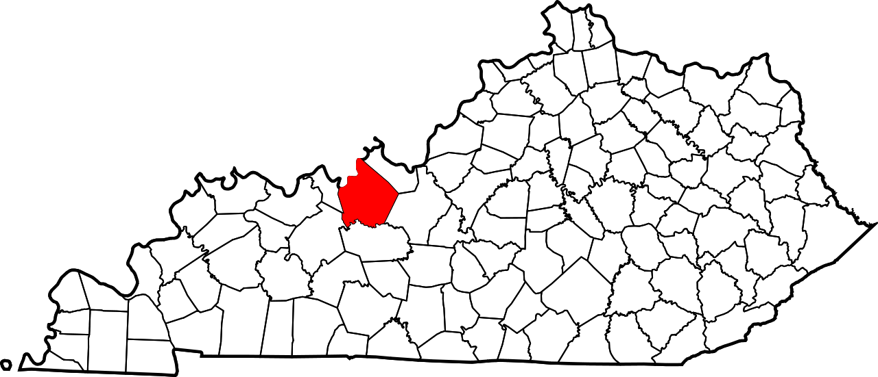
| County | Breckinridge |
| Elevation | 781 ft (238 m) |
| Time zone | UTC-6 (Central (CST)) |
| • Summer (DST) | UTC-5 (CDT) |
| Area code | 270 |
| GNIS feature ID | 508906[1] |


Raymond is an unincorporated community in Breckinridge County, Kentucky, United States. Raymond is located along Kentucky Route 477, 6 miles (9.7 km) northwest of Irvington.[2]
References
- ^ "Raymond". Geographic Names Information System. United States Geological Survey, United States Department of the Interior.
- ^ State Primary Road System: Breckinridge County (PDF) (Map). Kentucky Transportation Cabinet. 2012. Retrieved January 6, 2013.
 | This Breckinridge County, Kentucky state location article is a stub. You can help Wikipedia by adding missing information. |
