Voranava
Voranava | |
|---|---|
 | |
 Flag  Coat of arms | |
  Voranava | |
| Coordinates: 54°09′N25°19′E / 54.150°N 25.317°E / 54.150; 25.317 | |
| Country | Belarus |
| Region | Grodno Region |
| District | Voranava District |
| Elevation | 165 m (541 ft) |
| Population (2025)[1] | |
• Total | 5,532 |
| Time zone | UTC+3 (MSK) |
Voranava or Voronovo (Belarusian: Воранава; Russian: Вороново; Polish: Woronów, Werenowo; Lithuanian: Varanavas) is an urban-type settlement in Grodno Region, in western Belarus.[1][2] It serves as the administrative center of Voranava District.[1] It is located about 32 km (20 mi) from Lida and 13 km (8 mi) from the border with Lithuania. As of 2025, it has a population of 5,532.[1]
History
 |
_(2).jpg/1280px-Viarena%C5%AD,_Rynak._%D0%92%D1%8F%D1%80%D1%8D%D0%BD%D0%B0%D1%9E,_%D0%A0%D1%8B%D0%BD%D0%B0%D0%BA_(20.06.1939)_(2).jpg)
Within the Grand Duchy of Lithuania and Polish–Lithuanian Commonwealth, Voranava was part of Vilnius Voivodeship. It was a private town of nobility, including the Goštautai and Scipio del Campo families.[3] Jan Scipio del Campo founded a Piarist college in the town before 1738, which was later moved to Lida.[3] In 1795, the town was annexed by the Russian Empire in the course of the Third Partition of Poland. From 1921 until 1939, Voranava was part of the Second Polish Republic.
During World War II, in September 1939, the town was occupied by the Red Army and, on 14 November 1939, incorporated into the Byelorussian SSR. From 23 June 1941 until 11 July 1944, Voranava was occupied by Nazi Germany and administered as a part of the Generalbezirk Weißruthenien of Reichskommissariat Ostland.
Population
| This section needs additional citations for verification.(May 2025) |
Historical population | ||||||||||||||||||||||||||||||||||||||||||||||||||||||||
|
|
| ||||||||||||||||||||||||||||||||||||||||||||||||||||||
| Source: [4][5][6] | ||||||||||||||||||||||||||||||||||||||||||||||||||||||||
Distribution of the population by ethnicity according to the 2009 census:[4]
Gallery
- Historic manor of Scipio del Campo (19th century)
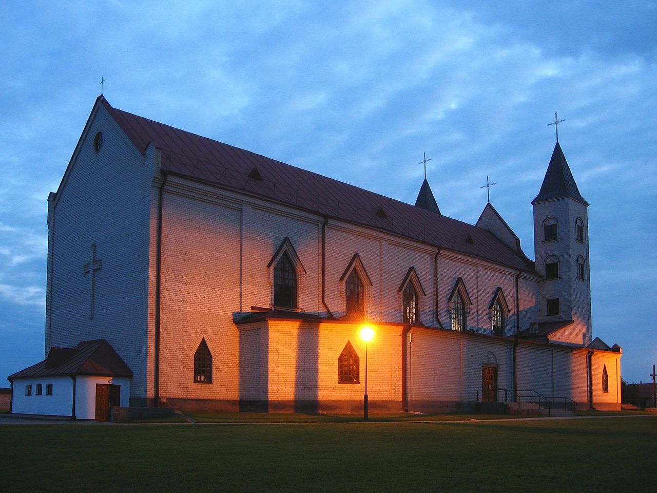
- Church of the God's Mercy
- Church of the God's Mercy
- Church of the God's Mercy inner interior
- District court
- Pharmacy building
- District house of culture
- Monument to defenders of the motherland World War II
- Voranava lake
- Former synagogue
- Voranava Farm machinery
- Church of Alexander Nevsky


_(2).jpg)
References
- ^ abcd"Численность населения на 1 января 2025 г. и среднегодовая численность населения за 2024 год по Республике Беларусь в разрезе областей, районов, городов, поселков городского типа". belsat.gov.by. Archived from the original on 29 March 2025. Retrieved 8 May 2025.
- ^Gaponenko, Irina Olegovna (2004). Назвы населеных пунктаў Рэспублікі Беларусь: Гродзенская вобласць. Minsk: Тэхналогія. p. 137. ISBN 985-458-098-9.
- ^ abSłownik geograficzny Królestwa Polskiego i innych krajów słowiańskich (in Polish). Vol. XIII. Warszawa. 1893. p. 955.
{{cite book}}: CS1 maint: location missing publisher (link) - ^ ab"Ethnic composition of Belarus 2009". Retrieved 24 December 2025.
- ^"Численность населения на 1 января 2023 г. и среднегодовая численность населения за 2022 год по Республике Беларусь в разрезе областей, районов, городов, поселков городского типа". belsat.gov.by. Archived from the original on 17 April 2023. Retrieved 10 August 2023.
- ^"Численность населения на 1 января 2024 г. и среднегодовая численность населения за 2023 год по Республике Беларусь в разрезе областей, районов, городов, поселков городского типа". belsat.gov.by. Archived from the original on 2 April 2024. Retrieved 13 October 2024.
External links
 | This Belarus location article is a stub. You can help Wikipedia by adding missing information. |
