West Stayton, Oregon | |
|---|---|
| Coordinates: 44°47′11″N 122°52′00″W / 44.78639°N 122.86667°W / 44.78639; -122.86667 | |
| Country | United States |
| State | Oregon |
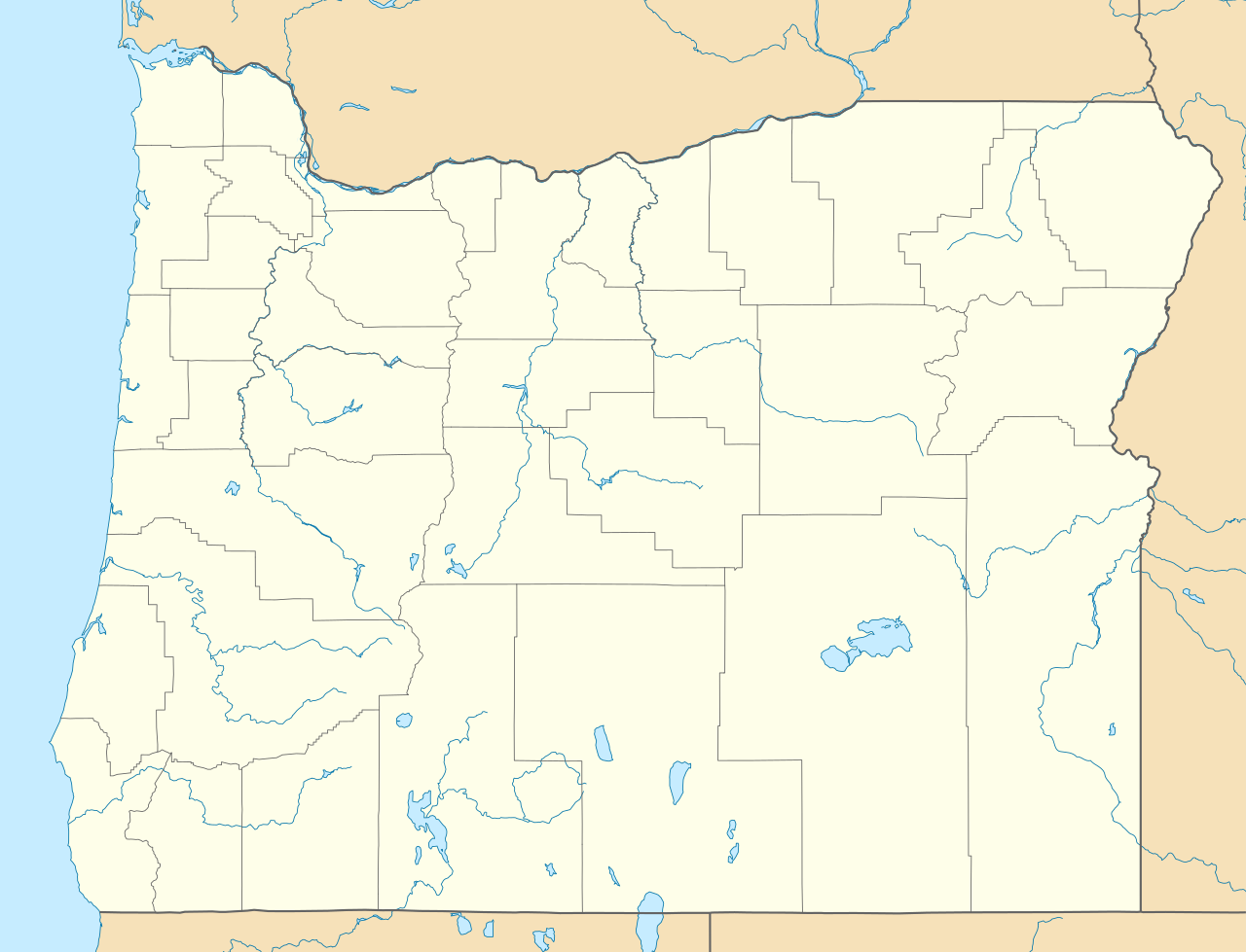
| County | Marion |
| Elevation [1] | 387 ft (118 m) |
| Time zone | UTC-8 (Pacific (PST)) |
| • Summer (DST) | UTC-7 (PDT) |
| ZIP codes | 97325 |
| Area codes | 503 and 971 |
| GNIS feature ID | 1128899[1] |


West Stayton is an unincorporated community in Marion County, Oregon, United States. It is located four miles west of Stayton, and five miles south of Aumsville. The ZIP Code is 97325. It is part of the Salem Metropolitan Statistical Area.
It is largely an agricultural area, noted for innovations in irrigation.[2] The Stayton Power Canal diverts water from the North Santiam River, located south of West Stayton, to farms in the area.[3]
History
In March 1960, an F1 tornado touched down in West Stayton. It caused some property damage, but there were no casualties.[4]
Notable people
- Jacob DeShazer (1912–2008), American Christian missionary involved in Doolittle's Raid[5]
See also
References
- ^ a b U.S. Geological Survey Geographic Names Information System: West Stayton, Oregon
- ^ Much, Justin (October 8, 2015). "West Stayton farmers featured for efficiency". Statesman Journal. Archived from the original on January 1, 2026. Retrieved January 1, 2026.
- ^ City of Stayton Comprehensive Plan (PDF) (Report). 2021. Retrieved January 1, 2026.
- ^ "Tornado History Project: 19600308.41.1". www.tornadohistoryproject.com. Archived from the original on August 29, 2014. Retrieved January 1, 2026.
- ^ Bourgeois, Don (April 17, 2022). "Remembering the Doolittle Raid on Tokyo". The Portland Tribune. Retrieved January 1, 2026.
 | This Marion County, Oregon state location article is a stub. You can help Wikipedia by adding missing information. |
